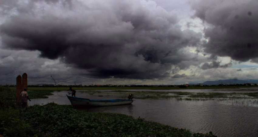
Thefirst depression of Monsoon 2019has finally formed and is currently over Northwest Bay of Bengal and adjoining north coast of Odisha. The system is centred 20.5 degree North, and 88 degrees East, about 160 km southeast of Balasore. The system formed in morning and has since then remained practically stationary. The system is showing signs of intensification and will become a deep depression in the next 24 hours or so.
The system is a slow moving one, it will take three to four days, to move across the breadth of the country. With this, starting today, heavy rains will be seen over coastal parts ofsouthern Odisha and North Coastal Andhra Pradeshwhich will continue tomorrow as well. The state ofJharkhand, Bihar and West Bengalmay also see widespread rains with rains being most intense in Jharkhand in the next 24 hours in view of this system. Three digit rains may be seen, resulting in localized flooding in some parts
On August 7, the system will move further westwards covering Telangana, South Chhattisgarh, Eats Madhya Pradesh, Vidarbha, Marathwada as well as Central Madhya Pradesh resulting in heavy to very heavy rains over these areas as well. In fact, some parts may see extremely heavy rains which may cause flood like situation in these areas.
Thereafter, on August 8, the system will cover WestMadhya Pradesh, North Madhya Maharashtra, Konkan including Mumbai, along with central parts of Gujarat, giving heavy to very heavy showers and may cause localized flooding.
In Gujarat, the most affected parts will be the central regions including Gandhinagar, Ahmedabad, and Vadodara.
This type of a prolonged and intense weather activity will cause disruption of all kinds including road, rail and air traffic being thrown out of gear. Localized flooding may also lead in massive difficulties in commute for office goers and school and college kids. All in all, residents of these parts need to be alerted regarding upcoming weather like this.
Image Credit: New Indian Express
Please Note: Any information picked from here must be attributed to skymetweather.com


