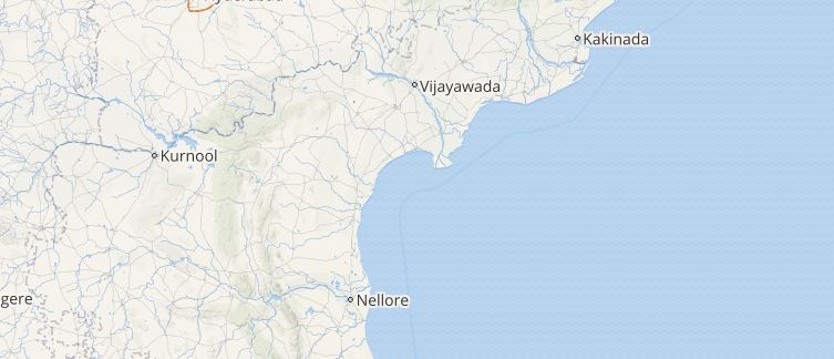
The rainy saga over Andhra Pradesh continued the third consecutive day as well. All thanks to the Depression that was over west central Bay of Bengal which gave moderate to heavy with isolated extremely heavy rains over the state.
However, the rains were more confined to the coastal parts of the state as compared with the interior districts and regions of Rayalaseema. As of now the rainfall activity over Andhra Pradesh is expected to reduce.
[yuzo_related]
Within the span of 24 hours from 08:30 am as on Wednesday, Kalingapatnam recorded very heavy three-digits rains to the tune of 104.5 mm, Kakinada 1.6 mm, Tirupati 2 mm, Tuni 1 mm and Visakhapatnam observed 0.2 mm of light rains.
Click here to get the live lightning and thunderstorm status across Andhra Pradesh
As per Skymet Weather, these rains were due to the depression that was over west central Bay of Bengal off North Andhra Coast. Due to this, the north coastal stations recorded heavy rains while the southern coastal regions of the state witnessed light spells.
As of now, this system is likely to move in a northeast direction along the Odisha coast and will start weakening after 24 hours. On account of this, the rainfall activity over Andhra Pradesh will reduce though light to moderate rains is still expected to continue over the coastal stations of the state for at least another 24 hours.
Image Credit: tripadvisor
Any information taken from here should be credited to skymetweather.com


