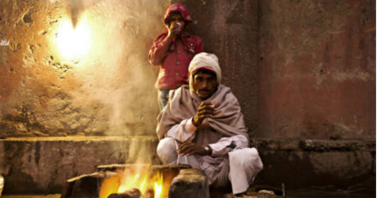
Delhi winters have shattered all records this season, with December witnessing harshest of winters in last few decades. This time, it was not the night temperatures but the day maximums which have wreaked havoc. The city was under the grip ofsevere cold wave for the last 14 consecutive days of the month, wherein day maximum did not rise over 15 degree Celsius.
However, beginning of January has brought much needed relief forDelhiites, with sun rays finally showing up. This has resulted in significant rise in day maximums. Besides this, passage of fresh Western Disturbance has also led to change in wind pattern from chilly northwesterly to much warmer easterly. Due to this, night temperatures have also shown a rising trend, abating the cold wave.
But does this mark an end to the harshest of the winters forDelhi. We are afraid that worst is not over yet. January have some very chilly days in the store ahead.
Winter season is governed by the passage and intensity of Western Disturbances travelling across Western Himalayas. This season has seen series of weather systems affecting North India. Frequency of Western Disturbance was such that it has not let the snow melt. Due to this, snowfall keeps on accumulating, which is what is reflecting in the atmosphere over the plains as well.
As per weathermen, trail of Western Disturbance would continue through January. This would not allow hilly region to take a breather from the incessant rain and snow. The first spell has begun from January 1, which would continue till January 4. After a brief break on January 5, rain and snow would pick up pace from January 6 till January 8.
This continuous weather activity on account of back to back weather systems would have an impact over the weather of northwestern plains including Delhi-NCR. With this, winters in January can be touted to be harsher than December. It is not the night temperatures but the cold days which would be main reason for discomfort.
The lowest maximum temperature during January was recorded at 9.8 degree Celsius on January 2, 2013. While the lowest minimum that year was recorded at 1.9 degree Celsius on January 6, 2013. Chances are bright that we might see a replica of the same this January also.
At present, all the hilly pockets of Jammu and Kashmir, Himachal Pradesh and Uttarakhand are large excess in terms of snowfall during December. It is not very common that all the three regions are excess at once. In fact, Uttarakhand and Jammu and Kashmir were excess by 100%.
November saw passage of three active Western Disturbances. December too followed the same track, wherein we again saw three active Western Disturbances. January has also begun on the similar note. At present, an active Western Disturbance is effecting Jammu and Kashmir. This would be closely followed by another active system around January 6.
Image Credit: NDTV
Any information taken from here should be credited to skymetweather.com


