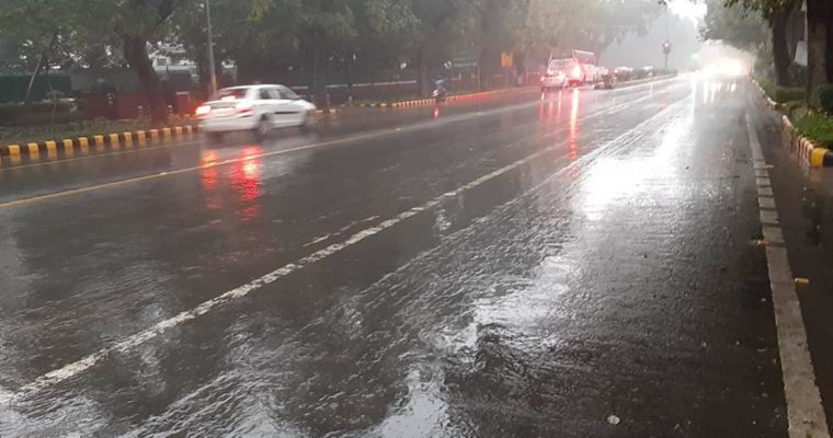
National capital is coming up for a prolonged wet spell, possibly lasting for a week or even longer. Meteorological conditions are shaping up to bring showery end to July and commence August with a rainy beat. Monsoon trough, the most authentic and active monsoon driver for the city is expected to have a swipe again and splash the national capital and suburbs. The capital city will witness all shades of speed and spread of monsoon shower. Light showers to start with anytime soon pave way for moderate intermittent spell in the fag end of the month. Brisk and enduring showers will continue with more speed and spread in the opening days of August.
Month of July witnessed 2 saturating spells on 01st and 20thJuly, first one much harsher than the 2nd. It was the most drowning downpour in the last 7 years as the base observatory recorded 117mm rainfall in 24hr, and most of it in just 3 hr. The base station has already measured 233mm of rainfall against the monthly quota of 195.8mm and will surely add in the remaining days of July to reach a figure of 250mm.
Monsoon trough is presently located well south of its normal position. The east-west trough is nearly 300km south, passing through Jaisalmer, Swai Madhopur and Guna. It is likely to shift northward from tomorrow onward and come close to Delhi by day after. Thereafter, this feature will stay in the extreme close vicinity for the subsequent 6-7 days. Longer the stay of trough close to Delhi, bigger are the chances for developing small scale vortices embedded in the shear zone. These changes will inflict the monsoon driver with intense convection resulting heavy showers.
Delhi and neighborhood can expect only light to moderate, short duration passing showers today and tomorrow. Pace and frequency will pick up from 28thJuly, building up gradually till the month end. Small scale circulations coming up later, along the trough will escalate both intensity and duration for 3-4 days, at the start of August.


