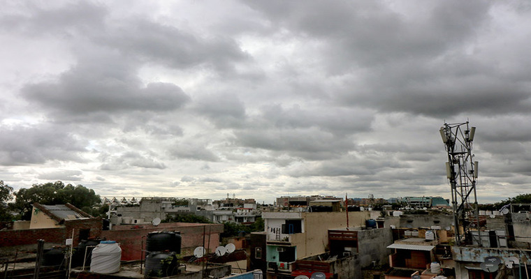
Capital city Delhi will become murkier with plumes of clouds, mostly at medium and higher levels, today and tomorrow. Today, the sheet of clouds will spread by late afternoon and evening and persist till Thursday morning. The rest of the days of the week will find a fair amount of sunshine and clouds, if any, will be scattered, thin and few. Fog, in patches, will make a comeback, but only in the morning hours. A marginal increment in the temperature, both, during day and night is expected.
Delhi has experienced dry weather conditions for the last week. Otherwise, the rainiest winter month of February witnessed some good showers at the start of the month. The capital city has received 30.8mm of rainfall during that period, more than the monthly normal. The noticeable twist in the weather conditions since last week. Persistent strong winds precluded fog formation and a fair amount of sunshine dragged the mercury beyond 20°C, throughout the week. Bonhomie seems to be getting over, albeit temporarily. Weather conditions may turn slightly gloomy on account of clouds and mist, but only today and tomorrow. Days will brighten up once again with a fair amount of sunshine and remain so till the weekend. Some stray clouds may swirl around next weekend but without the rain.
Mercury is going to rise, both during the day and night. The minimum temperature may even touch double digits and the day maximum will stay around mid-twenties on most days. Yesterday, the maximum temperature climbed to 24.6°C, the highest of this season so far. Mercury level is likely to breach the 25°C mark, more often during midweek and later.
A cyclonic circulation is marked over parts of Rajasthan and Gujarat. An offshoot of this may be seen as feeble circulation around the Delhi region on the 13th and 14thFeb. Lack of moisture and moderate temperature may not permit any significant weather activity. Chances of light rains, as appeared earlier, are receding now. Capital City may have to wait a little longer for another spell of winter rains. Though, a little early to predict, an active western disturbance is likely between the 19th and 21stFeb, moving predominantly across the mountains. The far end of this system may fetch some winter showers on one of those days. Confirmation will have to wait for another 2-3 days.
Image Credit: indianewsstream


