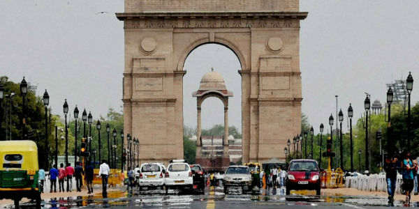
The months of July and August are the two rainiest months forDelhi. In fact, Southwest Monsoon commences in the month of June and withdraws in the month of September, precisely, a fortnight after withdrawal begins in Rajasthan.
Usually, it is the month of August wherein most amounts of rains are seen for the national capital. However, this year, rains have remained patchy in nature for the national capital with isolated heavy spells over some parts of the national capital.
Yesterday also, patchy rains were seen over the national capital with heavy in a few pockets while light rainfall in some areas. In the last 24 hours from 8:30 am on Thursday, Ridge Observatory recorded 18.4 mm of rains, Safdarjung 4.8 mm, Palam 3 mm and Ayanagar Observatory witnessed 0.8 mm of rains.
Today also, some parts of the city and its adjoining areas witnessed some light patchy rains with moderate in some pockets.
As per Skymet Weather, the low-pressure area over Central India has become less marked due to which the axis of the Monsoon trough will shift northward and run very close to Delhi and the NCR region. It will further shift northward resulting in the reversal of winds.
Therefore, sharp showers are expected to continue over Delhi and its adjoining areas as well today and tomorrow. Rains may reduce slightly thereafter but rainfall activity will still be seen in parts of the national capital at least until the weekend.
The city has so far recorded 121 mm of rainfall against its average of 232.5 mm of rainfall. Thus, the city has recorded almost half of its rains this time during the month of August and with just about a week left it does not seem that Delhi will be able to surpass its monthly mean.
Image Credit: ndtv
Please Note: Any information picked from here must be attributed to skymetweather.com


