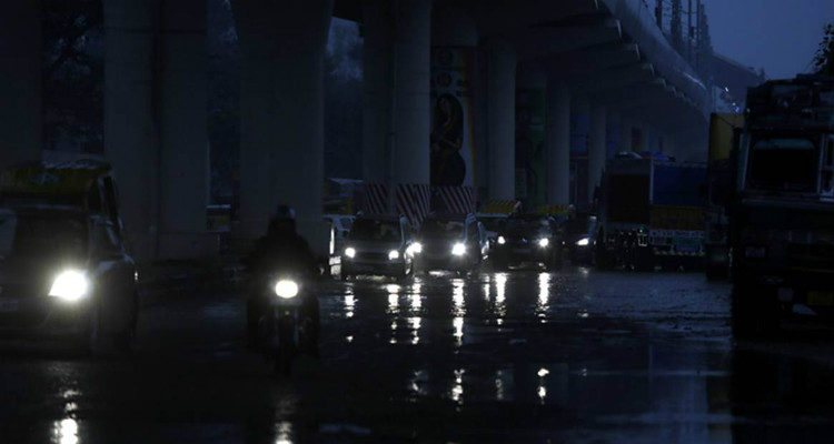
Delhi observatory recorded 25 mm rain during the last 24 hours. The monthly average rainfall of Delhi in the month of January is 19.3 mm. A western disturbance is over Jammu and Kashmir. An induced cyclonic circulation is over Rajasthan and an anti-cyclone is over Chhattisgarh. A trough is extending from Punjab to the North East Arabian Sea across Haryana, Rajasthan and Gujarat. Southwesterly humid winds from the Arabian Sea and Southeasterly winds from the Bay of Bengal are feeding moisture over Central and North-West India. These multiple weather systems are responsible for widespread rain and snow over Western Himalayas and rains over Punjab, Haryana, Delhi, north and East Rajasthan, West Uttar Pradesh and western parts of Madhya Pradesh. Hailstorm activities are also expected at isolated pockets of these states.
The minimum temperatures have increased across the North-west and Central India during the last 24 to 48 hours leading to abatement of cold wave. Rain and thundershower activities will continue over the North-west and Central states until January 5th. Day temperatures will dip leading to cold day conditions in some parts of North-west India.
Minimum temperatures will start dropping once again over western parts of Rajasthan by January 6th. Punjab, Haryana, Delhi, east Rajasthan and Gujarat will also witness drop in temperatures from January 7. Cold wave may make a comeback during that time over northern plains.


