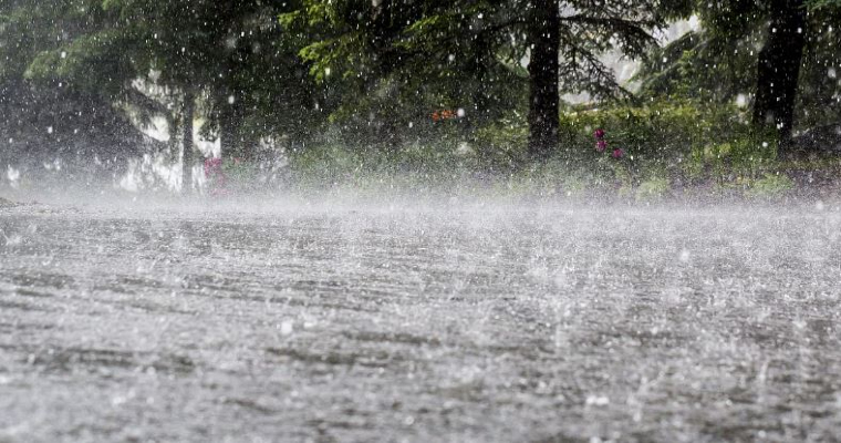
Deep depression over Northwest Bay of Bengal (B0B), off Odisha coast lashed the state with extremely heavy rainfall during the last 24 hours. North coastal Odisha got battered as the maiden deep depression of Monsoon-2021, crossed the shore and deluged many cities with all time 24 hour rainfall records. The weather system has left a trail of inundation, disrupting communication and connectivity.
The low pressure area which formed over BoB on 11th Sep, rapidly turned in a deep depression within 48 hours. First deep depression of season 2021 crossed the coastline near Chandbali and ravaged coastal and adjacent cities of Puri, Paradip, Bhubneshwar and Cuttack. The city of Jagannath temple Puri, bore the brunt to register a downpour of 343 mm rainfall in 24 hours.
This deluge was against the monthly normal of 254.6mm and thrashed the earlier 24hr record of 210.8, established in 1934. The city has recorded 454mm of rainfall during this month so far. Few other locations lashed by bursts of heavy rains were: Paradip-221mm, Bhubaneswar- 200mm, Cuttack-117mm, Pulbani-151mm and Sonepur-145mm.
The deep depression after crossing the coast has moved west-northwest slowly and is now lying as a depression over north coastal parts of Odisha and adjoining BoB.
The system will continue to move west-northwest towards Chhattisgarh in the next 24hr and over southern parts of Madhya Pradesh and adjoining Maharashtra in the subsequent 24hr. Later, the system will travel up to Gujarat and South Rajasthan.
Heavy to very heavy rainfall is expected during this period over these states till 15thSep and reduce thereafter. Slight breather is foreseen between 16th and 19th Sep, as of now. The rainfall deficiency for state of Odisha will drop back to normal range from whopping 30% or even more till August. Some of the districts will possibly shift to surplus for the season. Heavy rainfall over the state will continue for 24hr and reduce thereafter.


