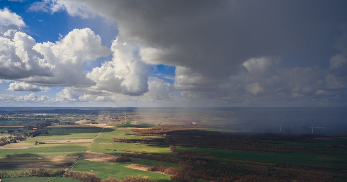
 Delhi usually witnesses a good spell of rains and thundershowers on account of any weather system over or near the region. In absence of any system, the nature of Monsoon rains become patchy and of short duration.
According to Skymet Weather, thundershowers or sharp showers accompanied by strong winds are commonly seen during the pre-Monsoon season. However, rains of this nature are sometimes seen during the Monsoon period as well.
[yuzo_related]
Usually such showers are in association with Monsoon trough, which generally across the Indo-Gangetic plains. Since the trough is oscillating in nature, it keeps on shifting south or north. This movement of trough leads to such weather activities. Click here to check the live lightning and rain status acrossDelhi NCR.
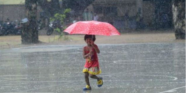
As per weathermen, Delhi is located at such a location that it gets to see the weather activities from all the direction. Direction of approaching weather activity is governed by the upper winds. Thunderclouds are steered by the winds prevailing at 2-5 kilometers.
Irrespective of the wind direction in the lower levels, movement of weather is controlled by upper winds.
During the Monsoon, winds over Delhi may change under the influence of any approaching weather systems like Western Disturbance, Low Pressure Area, Depression, etc. Thus, the national capital along the nearby areas of Gurugram, Noida, Faridabad and Ghaziabad are vulnerable to approaching weather systems from all the directions during this season.
West-northwest is most favoured direction for Delhi NCR as we see most of the weather coming from that direction only. But we cannot rule out weather coming from other directions as well. This can be derived from rainfall pattern across the city during the last five consecutive days.

Image Credit:en.wikipedia.org
Any information taken from here should be credited to skymetweather.com