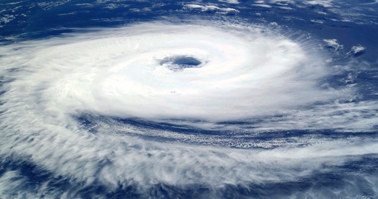
Cyclonic Circulation Forms Over Bay Of Bengal, Active Northeast Monsoon Conditions Likely
On the predicted lines, a cyclonic circulation has formed over the Southeast Bay of Bengal (BoB), extending up to mid-tropospheric levels. The system will steadily move westward across Southwest BoB, the Comorin region and the Lakshadweep area over the next one week or so.
The peripherals of the system will reach the coastline of Tamil Nadu tomorrow, inch forward to some interior parts of Tamil Nadu the day later and cover most parts of the extreme South Peninsula by day after tomorrow. The weather activity will also advance accordingly over the southern states during this week. Active northeast monsoon conditions are likely to roll over, the next week, as well.
During the first three days, between 06th and 08th November, the coastline of Tamil Nadu, and southern parts of Tamil Nadu and Kerala will remain the chief beneficiaries. Later, the weather activity will cover all five sub-divisions of Northeast Monsoon, namely Tamil Nadu, Kerala, Coastal Andhra Pradesh, Rayalaseema and South Interior Karnataka. The monsoon showers will extend and reach Coastal Karnataka, North Interior Karnataka and Goa, as well, during the next week.
The rainfall will mostly remain light to moderate during this spell. Still, isolated heavy rainfall at a few places can not be ruled out. The spread and intensity of weather will be relatively more during the next week as compared to this week.


