Cyclone Vayu, season’s first in the Arabian Sea has finally formed and is likely to see further intensification as well. The system is moving north northwestwards and heading straight towards the Saurashtra coast. Thus, theentire Gujaratwhich has not seen any rains as of now, is likely to see revival of Pre Monsoon rains during this time.
Vayu will become a Severe Cyclonic Storm by tonight and further intensify into a Very Severe Cyclonic Storm further giving heavy to very heavy rains over many parts of Saurashtra in Gujarat. Vayu has defied many odds and has been intensifying rapidly, gaining strength.
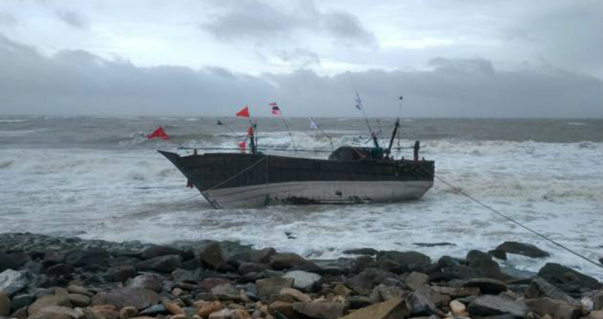
Cyclone Vayuis expected to be the closest to the Saurashtra Coast tomorrow, giving heavy rains, very strong winds and very rough sea conditions.
With the very likelihood of Vayu becoming a Very Severe Cyclonic storm also, cities ofJamnagar, Somnath,Porbandar,Dwarka,Okha, Veraval,Bhujand Naliya need to be put on alert as heavy rains are expected over these cities. In fact, probable Cyclone Vayu would lead to a revival of pre-Monsoon rains over Gujarat.
In fact, some of these pockets may see life threatening rains with flooding likely in some areas of the coastal parts.
Cities of Ahmedabad, Rajkot, Gandhinagar, Bhuj, Surat, and Veraval will also see some rainfall activities in view of Cyclone Vayu, resulting in the abatement of heat wave from many pockets.
While the interiors may not see heavy showers, the coastal regions need to be on high alert as Vayu is expected to cause hefty showers over these areas. With very little time left, the authorities need to start preparing for the arrival of Cyclone Vayu.
Image Credit: News Nation
Please Note: Any information picked from here must be attributed to skymetweather.com