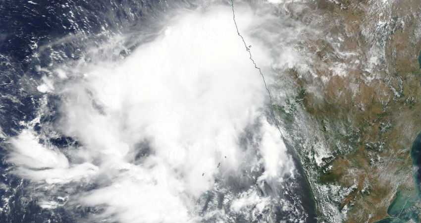
Close on the heels of cyclone Amphan in the Bay of Bengal, the Arabian Sea responded with a likely cyclone in the East Central parts, off Konkan & Goa coast. Currently, the monsoon depression is located about 350km Southwest of Goa and 650km South southwest of Mumbai. The system is moving nearly northward parallel to the coast and intensifying. It is likely to become a cyclonic storm in the next 24 hours.
The cyclonic storms forming in the Arabian Sea normally head for Oman/Yemen and rarely go for Gujarat and Maharashtra. Cyclone Nisarga is the only storm in the last 100 years or even more to form in the month of June and head for Maharashtra coast. There is a deep trough moving across northern parts steering this system northeastward towards the Konkan coast. Once abeam Goa, the cyclone will start recurving towards Konkan and is likely to strike Mumbai and suburbs on 3rd night.

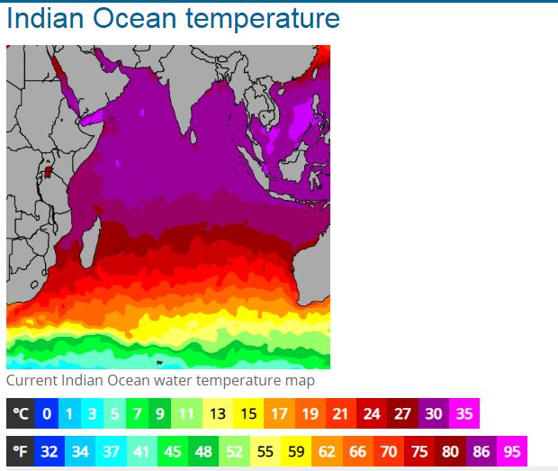
Cyclone Nisarga is likely to have short sea travel and therefore may not intensify beyond Cyclonic Storm. However, it is sailing in turbulent waters of the East Central Arabian Sea with fairly warm sea surface temperatures(30-32deg), generating enough heat potential. The vertical wind shear, though not outright support but good enough not to cause any distortion.

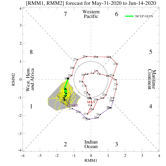
The MJO (Madden Julian Oscillation) will remain in phase-1 with a moderate amplitude to support the sustenance of cyclone through its travel to the Konkan region. The favorable position of MJO will last till the middle of June.

Cyclone is going to lash Coastal Karnataka, Goa, and Konkan over a period of 48hr. while moving in the proximity of the coastline. Extremely heavy rains with strong velocity winds will run the risk of flooding and disrupting communication and connectivity. Uprooting and felling of trees and the collapse of weak structures may warrant evacuation to safe places. The combination of storm surge and high tide may cause inundation of coastal areas.


