Despite moving further away from the coast in the northwest direction,Cyclone Mahais not yet over and done with Maharashtra. And Skymet has predicted more rains for the state with strong winds and rough sea conditions during the next 24 hours.
According to our senior meteorologist,Cyclone Maha has intensified into a Severe Cyclonic Storm. At 5:30 hrs on November 1, it was located at Latitude 14.6 N and 71.7 E. This system would move further away from the coast in the northwest direction. However, its outer periphery would keep extending up to Konkan and Goa and parts of South Madhya Maharashtra.
As a result, the two meteorological divisions would get light to moderate rain during the next 24 to 36 hours. Places like Ratnagiri, Sangli, Satara, and Vengurla would see these activities. Already the system has given scattered light rain during the last 24 hours, wherein Sangli has received 3 mm of rainfall and Vengurla 1 mm from 8:30 am on Thursday.
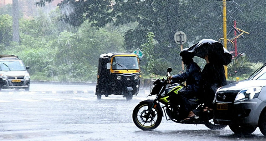
The effect of this Cyclone would be seen inMumbaias well in the form of light showers during the next 24 hours.
Although the system may not give heavy rainfall activities over all these areas, its influence would be seen in the form of strong winds and rough to very rough sea conditions in the South and North Konkan Coast during the next 48 hours. Hence, fishermen are advised not to venture into the sea for the next two days.
Talking about the interior parts of the state, rain in Vidarbha would remain light, however, Marathwada may receive one or two moderate spells of rain during the next two to three days.
The month of October ended on a large surplus note for Konkan and Goa, Madhya Maharashtra as well as Marathwada. The division of Vidarbha couldn’t somehow enter into this category and was standing rain deficit (though in normal category) by 9% as on October 31 (rainfall data from Oct 1 to 31).
Image Credits – The Weather Channel
Any information taken from here should be credited to Skymet Weather


