The weather conditions over the states of Uttar Pradesh and Bihar were almost dry since the last many days. And due to this prolonged dry spell, temperatures were increasing continuously over most parts of these states. In fact, on April 30,Bandarecorded its maximum temperature at 47.2˚C.
However, during the last 24 hours, temperatures have decreased to some extent as in the wake ofextremely severe cyclonic storm Fani, easterly winds from Bay of Bengal have commenced over parts of Uttar Pradesh and Bihar.
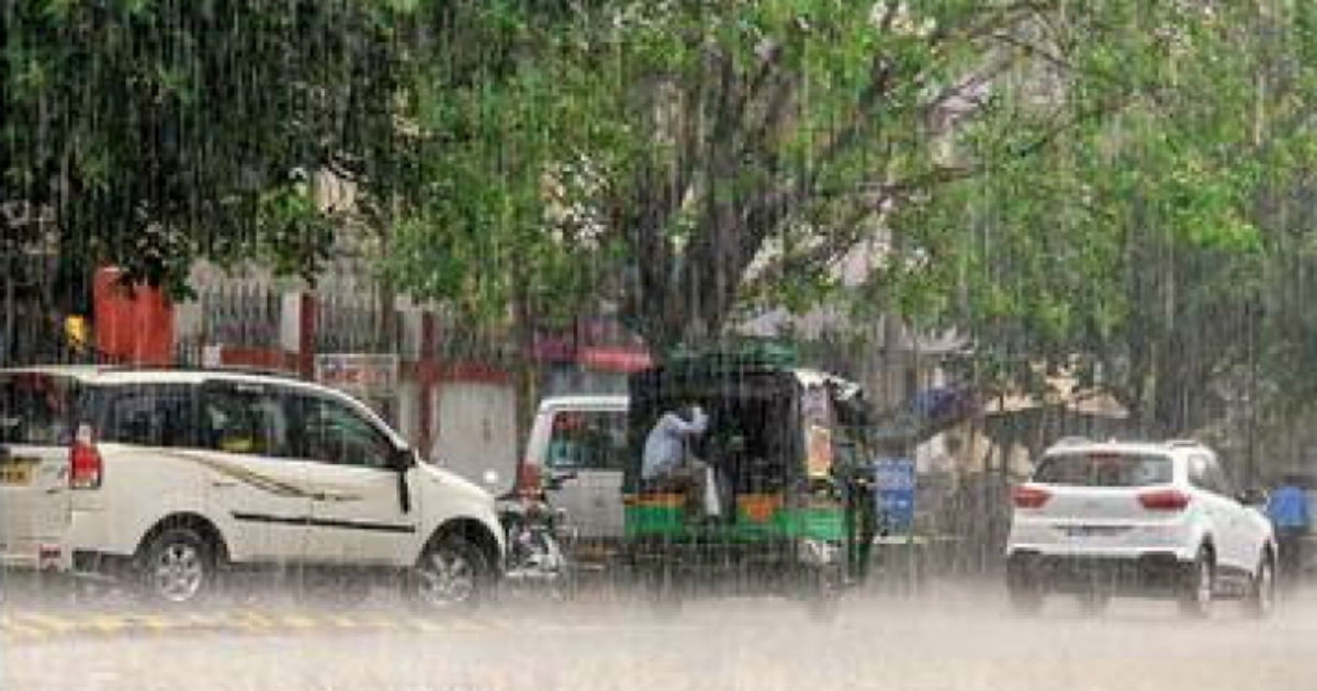
Now due to moisture incursion, we expect rain and thundershower activities to commence over Uttar Pradesh and Bihar from today. Particularly the foothills of Uttar Pradesh will observe good weather activities. The intensity of these weather activities will increase by tomorrow.
The intensity of these rains will be mainly light to moderate with few heavy spells. These on and off pre-Monsoon weather activities will continue till May 4.
Weather Alert: Light to moderate rain and thundershowers at many places with isolated heavy showers and squally winds will occur over Araria, Arwal, Aurangabad, Banka, Begusarai, Bhagalpur, Bhojpur, Buxar, Darbhanga, Gaya, Gopalganj, Jamui, Jehanabad, Kaimur (Bhabua), Katihar, Khagaria, Kishanganj, Lakhisarai, Madhepura, Madhubani, Munger, Muzaffarpur, Nalanda, Nawada, Pashchim Champaran, Patna, Purba Champaran, Purnia, Rohtas, Saharsa, Samastipur, Saran, Sheikhpura, Sheohar, Sitamarhi, Siwan, Supaul and Vaishali districts of Bihar during next 48 hours.
Further, by May 5,cyclone Faniwill reach up to the northeastern states as a depression, moisture incursion will also stop over Uttar Pradesh and Bihar. This will lead to clear weather condition. Moreover, easterly winds will be replaced by hot and dry northwesterly winds, which will lead to increase in temperatures.
Image Credit: Wikipedia
Please Note: Any information picked from here must be attributed to skymetweather.com


