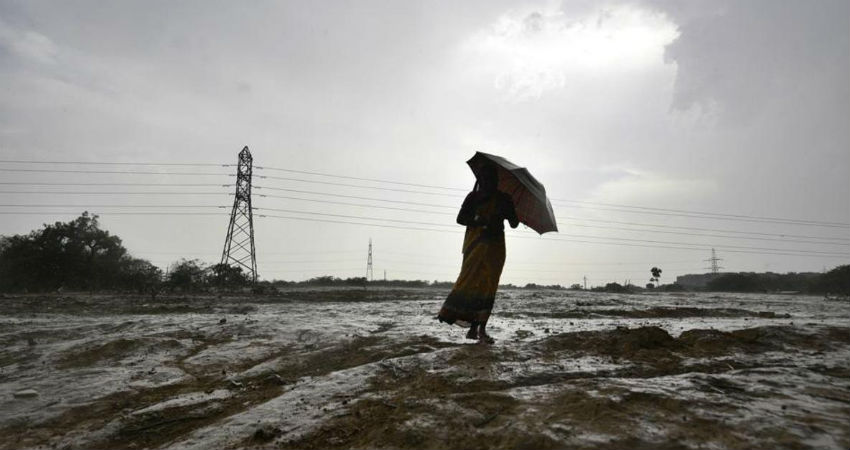
Bulbul finally made landfall last night as a severe cyclonic storm, packing winds gusting up to 135 kmph. Heavy rains, lightning strikes, and gale force winds were seen in many parts of Bangladesh and West Bengal coasts, keeping rescue teams at standby.
Rains have been quite heavy over the region. Moreover, In the last 24 hours, Khepupara saw 105 mm rains, Bhola 99 mm, Barisal 139.5 mm, Jessore 52 mm. Meanwhile, Contai in West Bengal saw a whopping 166 mm of rains, Dum Dum Airport in Kolkata 103 mm, Alipore in Kolkata 91.7 mm, Digha 96.6 mm, Diamond Harbour 91 mm.
Since its landfall, the system has been on a weakening spree at 5:30 am in the morning, it had weakened into a Cyclonic Storm over Bangladesh and adjoining Coastal West Bengal centred at Latitude 22.2 °N and Longitude 89.5 °E about 125 km east southeast of Kolkata and 80 km west of Khepupara.
The current wind speed around the storm is 80-90 kmph gusting to 100 kmph. The Cyclone has moved east northeastwards at the speed of 15 kmph and will continue to follow a track like that, crossing Bangladesh and weakening into a Deep depression in the next few hours, and a Depression, soon thereafter.
It is safe to say now that the storm has cleared West Bengal, which means rains will reduce significantly and the weather will clear soon. There may be some marginal effect over North and 24 South Parganas for a few hours. Meanwhile, rains will shift now to the southern parts of Northeast India, Mizoram, Tripura, Assam.
Image Credit: India Today
Please Note: Any information picked from here must be attributed to skymetweather.com


