Presently, a Western Disturbance is approaching in the higher latitudes of North Pakistan and its induced Cyclonic Circulation is expected to form over Central Pakistan and adjoining Punjab. A trough is expected to form towards the Northwest Plains due to which southerly southwesterly winds would continue to blow in Rajasthan for the next couple of days.
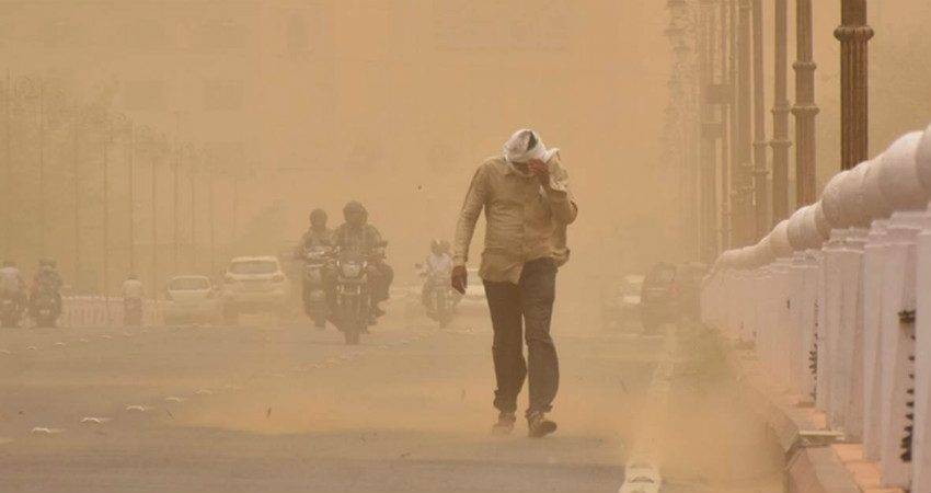
In the past 24 hours, isolated dust storm and thunderstorm activities were a sight in eastern and central parts of Rajasthan.Kota,Ajmer, and Jodhpur witnessed these activities. Whereas, dry and hot weather prevailed over the remaining parts of northwest plains.
Today, isolated dust storm and thunderstorm activity are possible in some places of Punjab like Amritsar, Ludhiana, Jalandhar, Kapurthala and Patiala. Ambala, Karnal and Rohtak in Haryana along with Udaipur, Chittorgarh, Jaipur, Kota and Sawai Madhopur in East Rajasthan will also witness dust storm and thunderstorm activity mainly towards afternoon or late evening.
It is expected that these weather activities would further enhance and cover more places in Punjab and northeast parts of Rajasthan and adjoining Southwest Uttar Pradesh.
There are chances of isolated dust storm and thundershower activities in Haryana, North Rajasthan, Delhi, and Northwest Uttar Pradesh. Gusty winds might reach a speed of 50 kmph in parts of North Rajasthan and Southwest Haryana and adjoining Punjab. Temperature is likely to drop significantly, and the day will be largely comfortable mainly in Punjab, Haryana and adjoining West Uttar Pradesh. On Sunday, June 16, mercury is likely to drop below 40 degrees and there will be arelief from hot weather conditions.
Image Credit: The Indian Express
Please Note: Any information picked from here must be attributed to skymetweather.com