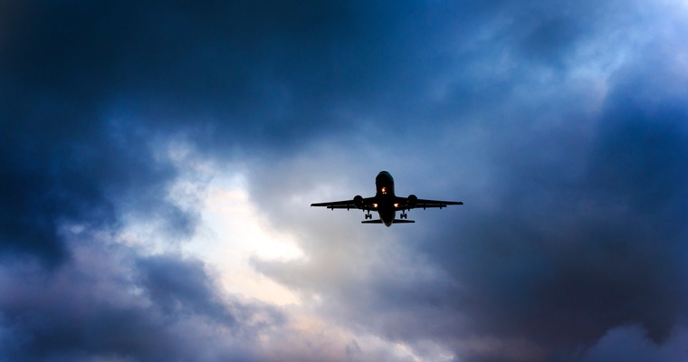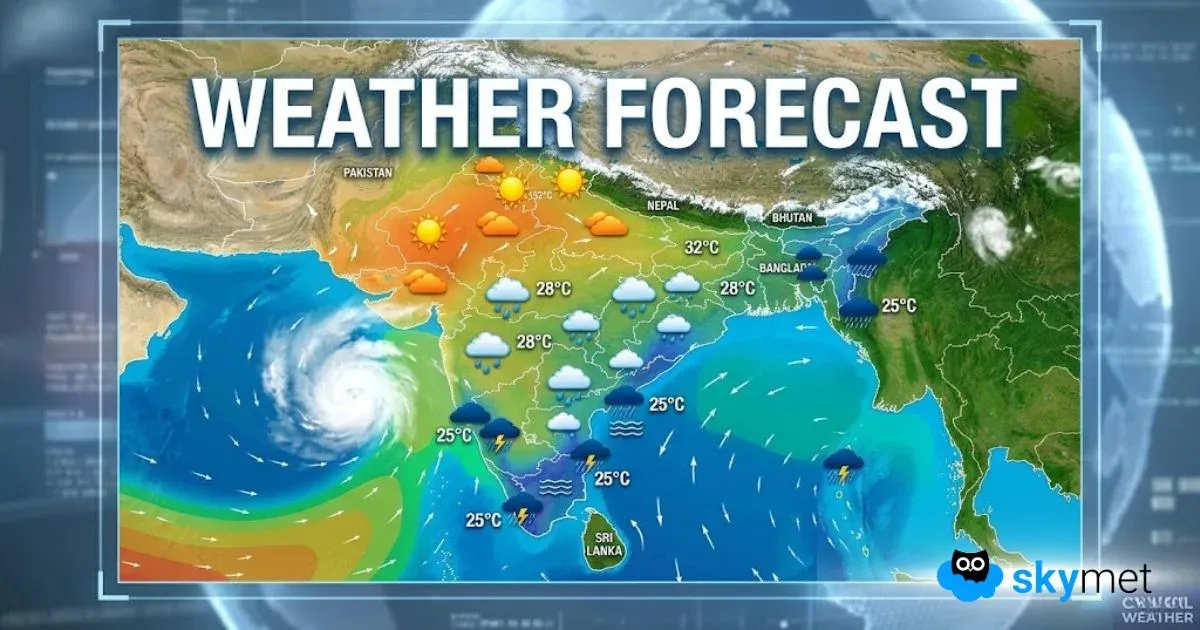
Tropical region and Pre-Monsoon season is a deadly combination for dangerous in-flight weather conditions. The extent of weather activity can reach beyond the troposphere, to heights in excess of 50,000 feet. Modern aircraft do not have that kind of ‘ceiling’ and most of these machines fly below 40,000 feet. Therefore, on many occasions, it may not be possible for the pilot to fly at safe heights, to avoid ‘weather’. Compulsorily, the flight has to take a detour, to search for safe passage.
Actually, two major incidents have shaken the aviators and passengers, both alike. Increased degrees of difficulty in adopting safe measures, while in flight, have lowered the confidence, more so of the aviators, to ensure flight safety. On 21st May 2024, flight SQ-321, hit turbulence enroute from London to Singapore, resulting in one fatality and up to 71 injuries, some of them serious. The flight had to land in Thailand on the declaration of emergency. The Boeing 777-300 ER, aircraft in question, struck severe turbulence, with no warning, while entering the notorious Bay of Bengal, between the sub-continent of India and the Malaya Peninsula. The flight was cruising at 37,000 feet and repeatedly dipped and ascended for about a minute. As per the report, there was a sudden loss of height and the aircraft dropped by nearly 6,000 feet, like a stone.
Following this incident, there was another one, hit with severe turbulence, but lucky enough to avoid any loss of life or very serious injuries. On 26 May 2024, Flight QR017 of Qatar Airlines, flying from Doha to Dublin was hit with severe turbulence, while flying over Turkey. Six passengers and six crew members were injured in the incident.
Weather activity at all levels, in the troposphere, is a common hazard for aviators. In all modern aircraft, there are avionics and aids, on board, to circumvent or negotiate a safe passage. Weather radar is very competent and forceful aid to negotiating adverse weather enroute. The visible manifestation of weather phenomena, if any, is possible to avoid. Thunderstorm cell, the most severe hazard is avoided at all costs, by all the aviators. No one dares and not advisable as well, to go through and through a tall convective cloud. The thermals of such towering clouds can be felt even at a reasonable distance from the cell. Never and never, try to fly above these clouds, unless there is a margin of 1-1/2 half time the height of the cloud.
The biggest enemy and aviation hazard comes from the ‘clear air turbulence’, popularly called ‘CAT’. Unlike regular turbulence, it hits suddenly and is hard to avoid. There are no visual clues for CAT, to the pilot. CAT can be defined as an imbalance in the atmosphere in which eddies and gravity waves are formed. The essential difference between low-level and high-level turbulence is related to the dissipative force and the production and growth of turbulence within a limited time scale. The dissipative force is quite strong at the low level and a steady state can be achieved for a considerable period. In the upper atmosphere, a parcel of air moves through a dynamic pattern quite rapidly and thus the time scale for growth is quite small.
The main sources of turbulent energy in the high troposphere and the low stratosphere are the vertical and horizontal wind shear. These shears are attributable to large wind gradients and thermal gradients, both in the vertical and horizontal direction. Strong winds in the core of jet streams can lead to a fair amount of turbulence for prolonged periods. Gravity waves can be strong enough to cause severe turbulence over mountainous regions. Gravity waves in combination with vertical shear, however, produce very severe turbulence over a considerable area. Strong anticyclonic shear and curvature are favourable for dynamic instability. These areas are more susceptible to turbulence. Coupled with large temperature gradients, if any, can lead to chaotic turbulence.
The synoptic features generally associated with CAT are curved, meandering and strong jet streams and sloping stable baroclinic zone. Wind shear turbulence occurs in regions of cyclonic wind shear. Turbulence is more severe near the level of maximum wind in the jet stream and decreases sharply at higher levels. CAT occurs in and near the regions of strong horizontal temperature gradients at 200-250 hPa. Cold air advection enhances the probability of CAT. Confluence regions of two jet streams can create terrible zone of turbulence and is the most difficult to configure. Catching and predicting areas of CAT remains a challenge and the most difficult aspect to conquer in the field of aviation.
This article is in response to the two International flights encountering severe clear air turbulence (CAT) during last week. Also, it is with partial response to the news of IndiGo trials of news software that measures and warns of turbulence in the air.


