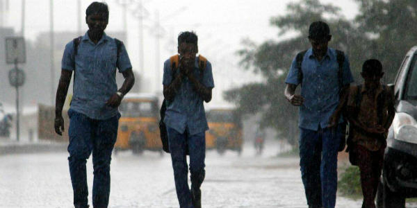
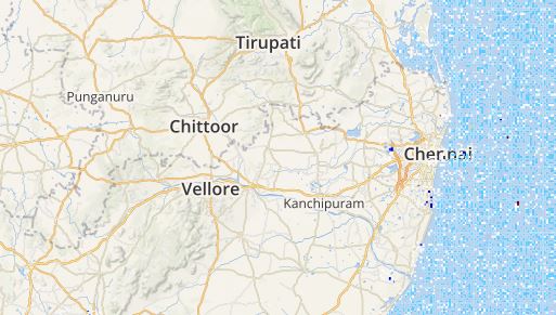
As predicted by Skymet Weather, the south coastal districts received good rains in the last 24 hours. All thanks to the well-marked low-pressure area that was over Southwest Bay of Bengal off Sri Lanka coast. However, both the observatories inChennaifailed to record any rains in the past day.
In the span of 24 hours from 08:30 am as on Tuesday,Karaikalrecorded moderate showers to the tune of 27 mm, Adirampattinam 15 mm, Thanjavur 12 mm, Tondi 2 mm, Kodaikanal 2 mm and Tuticorin recorded 1 mm of rains. On the other hand, the north coastal stations also including Chennai remained dry.
MUST WATCH: Chennai Rains Forecast Until December 7
[yuzo_related]
As of now also, good rains are anticipated to continue lashing the state, mostly the southern coastal stations of Tamil Nadu. As per Skymet Weather, this well-marked low-pressure area has now intensified into a Depression and lies over Southwest Bay of Bengal off Sri Lanka coast. This system is likely to move in a west-northwest direction and may intensify into a Deep Depression in the next 24 hours. Thus, Tamil Nadu can brace for some moderate to heavy rains for the next 24 hours.
Click here to get the live lightning and thunderstorm status across Tamil Nadu
However, once again the southern coastal parts of the state are expected to get good rains in contrast with the northern districts of the state. Stations such as Tuticorin andPambanmay even record some moderate rains with a few heavy spells. While Madurai and Kanyakumari can brace for some moderate spells.
Unlike the southern districts, the northern parts of the state such asCuddalore, Coimbatore, and Parangipettai are likely to get light to moderate spell. The capital city Chennai may also witness light to moderate showers. However, the weather will remain pleasant and a rise in the wind speed is also anticipated.
ImageCredit: NewIndianExpress
Any information taken from here should be credited to skymetweather.com


