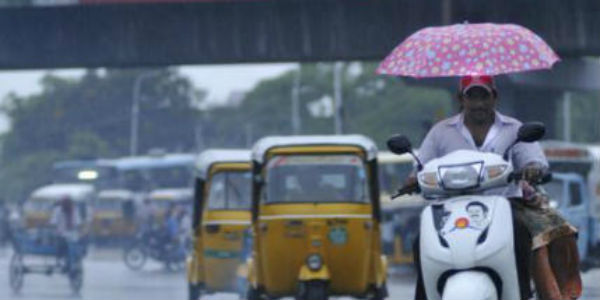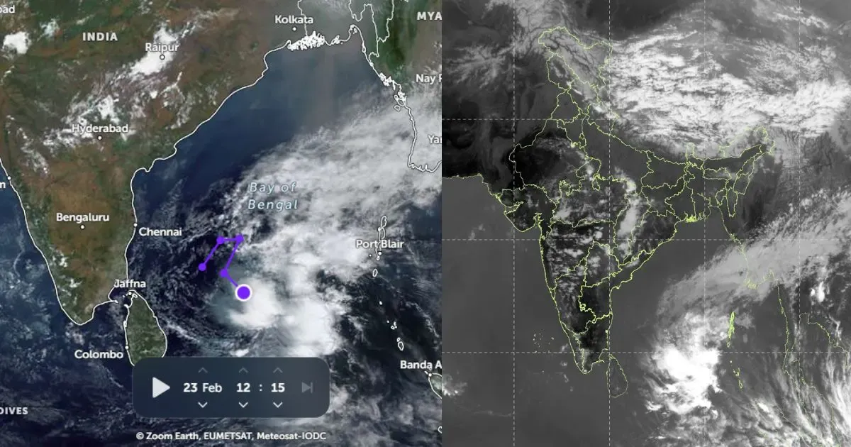
As anticipated by Skymet Weather, isolated rainfall activity was recorded in some parts of Chennai during the last 24 hours. Presently, the low-pressure area which is persisting over Central Bay of Bengal and adjoining equatorial Indian Ocean is moving in a west southwest direction towards Sri Lanka.
[yuzo_related]
As per weathermen at Skymet Weather, the weather system may intensify into a well-marked low-pressure area. Due to its effect, the coastal areas of Tamil Nadu includingChennaiwill start receiving light to moderate rains during the next 24 hours.
It is expected that these on and off showers will continue until November 28. Thereafter we expect the weather to once again become almost dry over Chennai. However, the sky conditions will remain partly cloudy to cloudy and isolated light to very light rains may continue in parts of the city thereafter also.
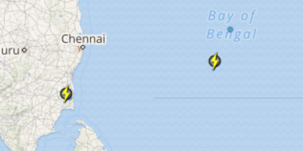
Click the image below to see the live lightning and thunderstorm across Chennai
The weather is likely to remain warm until the rain starts occurring but as the rainfall activity will start the temperature are likely to reduce making the weather comfortable. Another cyclonic circulation is expected to develop over Southeast Bay of Bengal around November 27.
This weather system will again move in a westerly direction and may give good rains over Chennai and adjoining areas from December 3. Until, then we will have to wait and see the impact of the second weather system, whether it will give heavy to extremely rain or moderate rains.
IMAGE CREDIT: wikipedia.org
Any information taken from here should be credited to skymetweather.com


