The month of September has brought a bunch of good Monsoon showers for Chennai as the city has been witnessing on and off light rains since the start of the month. Apart from a couple of days that were a break period for the capital of Tamil Nadu, generally, Chennai rains have been keeping its occupants in a euphoric mode. Now, the city is all set to welcome some Monsoon showers again.
The weather condition though played a little spoilsport with the maximums seldom remaining under the 35-degree mark, making the days marginally muggy and humid. The city recorded light spells during the last 48 hours but the last day was a dry day for most parts the ‘Gateway to South India’.
[yuzo_related]
Where in the last 24 hours from 08:30 am as on Friday, neither Chennai’s Nungambakkam Observatory nor the Minambakkam Observatory recorded any rains. However, other parts of the state such as Nagapattinam, and Thanjavur recorded 1 mm of rains each, Cuddalore 0.7 mm and Tiruchirappalli and Karaikal recorded some rainy traces.
As per weathermen at Skymet Weather, a trough is expected to form from extreme South of West Bengal to South Tamil Nadu across Andhra Pradesh. Due to this, the rain activity over Tamil Nadu is expected to scale up.
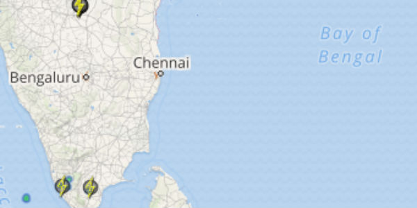
Click to see live lightning and thunderstorm across Tamil Nadu
However, the increased rain activity will mainly be witnessed over the northern parts of the state for the next few days. While Chennai and the adjoining coastal districts of the state may get to record light rain and thundershowers.
It is expected that the interior regions of the state such as Nagapattinam, Thanjavur, Cuddalore, and Tiruchirappalli may witness more showers after 48 hours as compared with the coastal stations Tondi, Karaikal and including the state capital, Chennai.
Image Credit: Reddif
Any information taken from here should be credited to skymetweather.com


