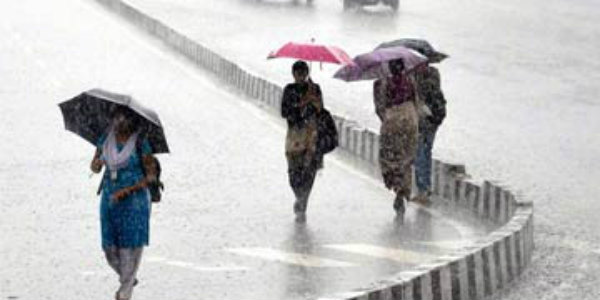
Odisha and Andhra Pradesh have been recording moderate to heavy rains and thundershowers for the last few days. In fact, on few occasions, coastal areas have recorded very heavy showers as well.
Last 24 hours were no different and several parts of Andhra Pradesh saw mainly light to moderate rains with one or two spells of heavy rains. Meanwhile, Odisha settled with light rains only.
Anantapurin Andhra Pradesh has recorded 104 mm of rain in a span of 24 hours from 8:30 am on Sunday. This was followed byOngole55 mm, Narsapur 35 mm,Bapatla30 mm, Kavali 21 mm, Jharsuguda 16 mm,Balasore12 mm,Puri7 mm, Machilipatnam 6 mm,Vijayawada5 mm, Kakinada 5 mm andParadip3 mm.
[yuzo_related]
According to Skymet Weather, weather conditions are still favorable for more rains to lash both the adjoining states. Moreover, rains may pick up pace after 48 hours.
Also, these rains can be attributed to the trough running from East Bihar to Coastal Karnataka across Interior Odisha and Andhra Pradesh. Apart from this, a cyclonic circulation is also seen over Odisha and adjoining areas.
With this, moderate showers with a few heavy spells are likely to continue over Odisha and Andhra Pradesh for the next 3-4 days.
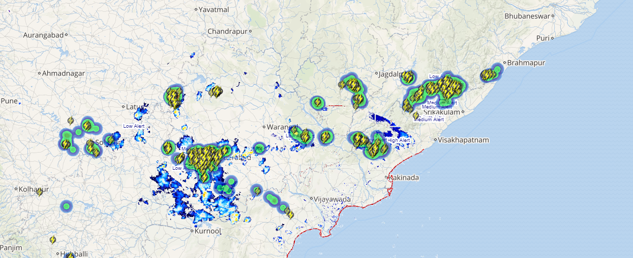
Click here to check the Live Lightning and Thunderstorm status over Odisha and Andhra Pradesh:
Thereafter, weathermen predict that intensity of rain may even increase further over South Odisha and Coastal Andhra Pradesh. This will be on account of the formation of a fresh cyclonic circulation over west central Bay of Bengal.
With this, we can foresee good showers to keep drenching many parts of Odisha and Andhra Pradesh like Bhubaneswar, Gopalpur, Puri, Paradip, Visakhapatnam, Ongole, Bapatla and Vijayawada.
Image Credit: economictimes.com
Any information taken from here should be credited to skymetweather.com


