As predicted by Skymet Weather, the fag end of March proved to be no less than a miracle for Bengaluru that was reeling under a dry spell since March 19. In fact, on March 18 also, the city was able to record some traces of rains only.
However, after that, pre-Monsoon rains began over the capital city of Karnataka on March 29 and since then, on and off showers have been occurring over the state capital. In the last 24 hours from 08:30 am on Monday also, Bengaluru city managed to register 14 mm of rains.
In fact, on Friday, isolated pockets ofBengaluruand its nearby regions even got to witness some hailstorm activities. However, adhering to their characteristics, these pre-Monsoon showers showed up during the latter part of the day and thus it did not impact the temperatures much. Which is why a major fall in the maximums was not observed but minimums did register a drop by two to three degrees Celsius.
[yuzo_related]
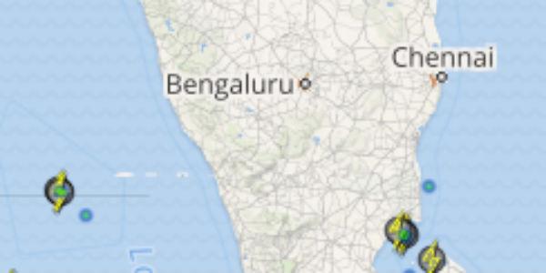
Click here to get the live lightning and thunderstorm status across Bengaluru
As per Skymet Weather, these rains occurred due to a trough which is extending from Chhattisgarh to South Interior Karnataka. Moreover, as this trough persists, Bengaluru and its adjacent locations are expected to continue to witness some more spell of rains for the next 24 hours.
Thereafter, the weather of the Garden city would take a brief break for a day or two. The temperatures that have witnessed a slight slip during the last two to three days due to rains, may rise slightly again. However, the sky would continue to remain partly cloudy.
Thereafter, another round of good rains over the city is anticipated around the weekend.
ImageCredit: whatsapp.vexmd
Any information taken from here should be credited to skymetweather.com


