Karnataka including Bengaluru has been witnessing rain of varied intensity from the past few days. The post Monsoon season is presently going on and the state has received extremely good rains so much so that the southern parts are largely rain surplus. As on October 6, Bengaluru rural is rain surplus by 73 percent and Bengaluru urban by 85 percent rain.
[yuzo_related]
During the last 24 hours, North Karnataka has witnessed increased rainfall activity over the area, with moderate to heavy rains. However, a marginal decrease in rain was observed over South Karnataka. The capital city Bengaluru received heavy rain in parts. In the last 24 hours from 8.30 am on Friday, Airport Observatory of Bengaluru witnessed heavy rain to the tune of 47 mm and the city witnessed moderate spell of 14.5 mm.
Meanwhile, Agumbe witnessed 73.8 mm of rain, Devangere 66 mm, Chitradurg 57.3 mm, Mandya 28.6 mm and Vijayapura 16.6 mm of rain. In the same span of time, Ballari, Belagavi, Madikeri, and Honavar also witnessed light spells. It is anticipated that moderate spells will continue at many places over Northern regions of the state.
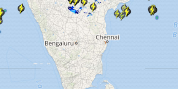
Click the image below to see the live lightning and thunderstorm across Bengaluru
While southern parts will only receive light rains with a few moderate spells. The rainfall will be attributed the multiple weather systems over the region. A cyclonic circulation persists over Telangana and a trough is extending from this system across North of Karnataka. A north-south trough is also extending from Telangana to South Tamil Nadu from the above mentioned cyclonic circulation.
Another trough can be seen extending from South Konkan up to Kerala. The weather will remain mainly pleasant and the sky will be cloudy. As per Skymet Weather, rainfall activity will continue but the intensity may vary and hence dry weather is not in forecast for the upcoming days.
IMAGE CREDIT: thequint.com
Any information taken from here should be credited to skymetweather.com


