
Thestorm season in the Indian seasis divided into two parts, one being the Pre Monsoon period and the other being the Post Monsoon seas. In the Pre Monsoon, the peak month is May while November sees most cyclones during Post Monsoon season.
The average cyclones in a year is four with one forming in Arabian Sea and the other three in theBay of Bengal. However, the number and frequency vary as has been the case this year wherein Arabian Sea saw more Cyclones than Bay of Bengal.
Normally cyclones keep taking turns, when they once occur in Bay of Bengal and then in theArabian Seasince when a storm forms, it takes a lot of energy, and thus a gap is needed for the oceans to replenish the energy. There have been occasions, when cyclones have been formed in succession.
This year, Arabian Sea has hosted four cyclones in a row, with two being in thePre-Monsoon cyclone seasonand two in Post Monsoon.
Talking about Bay of Bengal, it has a record of hosting a greater number of cyclones, even more than four. For Bay of Bengal, hosting four cyclones in a row is not a rare occasion but for Arabian Sea, it is not a common affair.
The year 1976 had hosted seven cyclones in a year, with six being in Bay of Bengal and one in Arabian Sea. Out of these, four Cyclones in the Bay of Bengal were in a row, in the Post Monsoon.
In 1985, total six cyclones were formed, out of which Bay of Bengal had five storms with four in a row in Bay of Bengal.
In the year 2000, five cyclones had formed, all of them were in Bay of Bengal, wherein one was in Pre Monsoon, and the other four in the Post Monsoon season, all in a row.
2013 had five cyclones, and it was a repeat of 2000, wherein all Cyclones were formed in Bay of Bengal, and none in Arabian Sea. One had formed in the Pre Monsoon and four in the Post Monsoon season.
Bay of Bengal has a history of hosting more Cyclones. However, more than four cyclones in a row have not formed in a season.
Talking about the current situation, the peak season has come to an end. The Pacific also sees a decline which does have a few cyclones remerging in the Bay of Bengal. However, looking at the ocean conditions, the possibility of storm formation still cannot be ruled out completely.
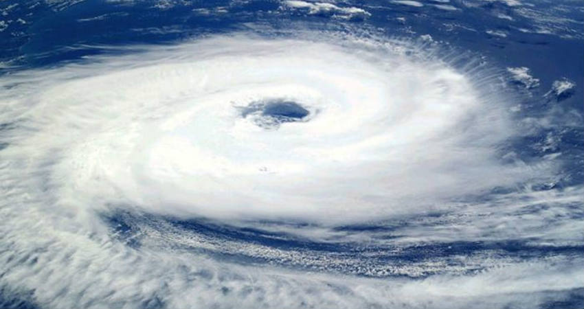
Image Credit: wikipedia
Please Note: Any information picked from here must be attributed to skymetweather.com


