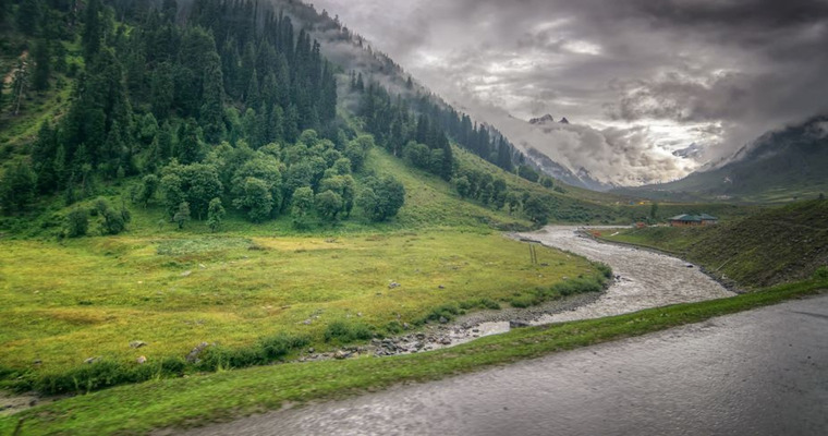
A trail of western disturbances across the mountains of north India has sustained for the entire month of March. Courtesy, of these western disturbances, the hilly states have recovered from the hopeless state of the winter season in December and January. February also, was a shade better and the month of March was at par, like in any other decent month in the transition period. Frequent passage of western disturbances has recharged the glaciers, water bodies, streams and lakes to ensure adequate storage for the upcoming summer season.
Western disturbance has arrived over the Western Himalayas. Weather activity has already commenced with an overcast sky and is likely to follow with scattered showers over the area. Another western disturbance will arrive on 29th March, more active than the current one. It is likely to push the rain and snow across wider areas of the hilly states. Some pockets will be lashed with severe thunderstorms and possibly accompanied by hailstorms in the lower reaches.
Jammu and Kashmir will face the fury of weather systems, more than the other states. Uttarakhand will have the least effect and also for a lesser duration. Intensity and spread will increase on 29th and 30th March. It may ease out slightly on 31st March, but a large improvement is expected from 01st April onward. It is unlikely to clear in toto, even after the partial clearance on 01st Apr and the remnant of the weather systems will keep scattered and light weather activity, subsequently for 3-4 days.
The threat of road closure, both, the highways and arterial roads, can not be ruled out. Landslides and mudslides may disrupt the traffic. Venturing in the open, during stormy conditions, is best avoided. Mountains always remain mysterious and dodge the best of predictions. Better observe caution and adopt safety measures.


