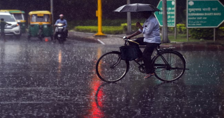
Northern parts of the country enjoy just two months of Monsoon, which happen to be July and August, also the core Monsoon months. This is because Monsoon arrives in these parts last and withdraws the first.
This particular region is not a homogenous region. For instance, there is the hilly region on one side comprising of Jammu and Kashmir, Himachal Pradesh and Uttarakhand. On the other side, there are the plains of Punjab, Haryana, Uttar Pradesh, Delhi and the third region is the desert state of Rajasthan. Thus, there is a lot of variation in terms of weather conditions.
Moreover, there is never a uniform distribution of rains in North India, and this is the pattern seen every year. Sometimes, one region performs better, sometimes the other does.
Monsoon this year arrived very late over North India, keeping it on its tenterhooks until July 13. Hills did see the arrival of Monsoon around June 13, but it took an entire month for it to reach the plains of North India, as Monsoon got stuck.
Despite this delay, Pre Monsoon kept going on and good rains were seen. There was decent rain distribution on account of these Pre Monsoon rains over the region. Currently, overall Northwest India is deficient by 9 percent, which is not much. This deficiency has majorly come from West Uttar Pradesh, East Rajasthan and partly from Jammu and Kashmir. All the other parts have performed decently well.
The last few days, Monsoon activity has picked up with a lot of deficit being covered. Now, there are back to back systems forming in the Bay of Bengal which will accentuate the rains in the region. There are three factors which result in rains over North India, one of them is the Monsoon systems that form in the Bay that are normally dragged along the Monsoon trough. Invariably these systems, when they move up to this region, they tend to weaken and require an additional push to have some decent rains over North India. This is when Western Disturbances come into play and aid these systems in resulting in rainfall activity.
Though Western Disturbances are generally weak at this point, they are needed for good rains over these regions.
Coming to the present scenario, a low pressure area has already formed and the system is expected to move west northwestward over central parts and may come up to East Rajasthan. While the system will weaken, some boost is expected in terms of a circulation in Pakistan which will aid the system and will result in good rains over the region.
The hills of North India, Punjab, Haryana, Delhi, Uttar Pradesh and Rajasthan may see rains around July 25 onward. Another system will follow, which will help rains continue over the region until the end of the month.
Rains are not expected to be simultaneous over the entire region but will occur in turns. The weather has already improved in terms of reduction of heat and with this upcoming spell, conditions may become pleasant.


