
The Arabian Sea and the Bay of Bengal are storm breeders, the latter shade higher than the former. The frequency of storms in these two Indian Seas does not show any pattern but the past records suggest not more than two cyclones in each of this basin during 3-4 months long pre-monsoon season. The stats of the last 10 years display all possible combinations including nil storm in a particular year. 2011 and 2012 did not host even a single storm during pre-monsoon in either of these basins.
The year 2019 and 2020 earned the distinction of back to back severe storms of pre-monsoon in the Bay of Bengal. Before this, two successive storms Marutha and Mora formed in April and May 2017 and cyclone Roanu formed in May 2016. Marutha and Mora had a short life of about 2 days and intensified to the status of the cyclonic storm and severe cyclonic storm respectively. Roanu was a peculiar storm as it weakened in between and intensified again during its life span 19-23 May 2017. None of these storms made landfall over the Indian coast and rather headed for Myanmar and Bangladesh.
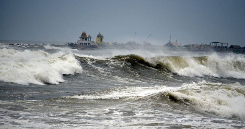
Cyclone Fani and Amphan were both devastating storms of the immediate past in the Bay of Bengal. Cyclone Fani was a Cat-4 equivalent Extremely Severe Cyclonic Storm which lasted from 26Apr to 05 May 2019. This was the strongest storm since 1999 Odisha Cyclone. Fani registered an average 1-minute wind speed of 250kmh and 3 minute mean of 185kmh. As usual due to friction and entrainment, the storms have a tendency to weaken a bit before the landfall and so was Fani. It made landfall near Puri as Extremely Severe Cyclone on 3rd May and weakened. On its recurved path it weakened to a cyclonic storm before passing just north of Kolkata, later on, the same day, and subsequently moved to Bangladesh as a deep depression. Kolkata experienced rainfall of 66mm in 24hr.
Cyclone Amphan was a Cat-5 equivalent super cyclone and became the strongest storm since 1999 Odisha Cyclone. It is also the second most intense tropical storm worldwide in 2020. Amphan started from low pressure in the Southeast Bay of Bengal on 13th May and became a cyclonic storm on 16th, centered around 1100km south of Paradip. The cyclone holds a record of an explosive intensification to become Cat-4 equivalent in 6 hours. Also on 18th May the cyclone Amphan had two distinct concentric eyewalls, typical of a very intense cyclone. The cyclone made landfall on 20th May afternoon near Bakkhali, West Bengal as Very Severe Cyclonic Storm. This cyclone will go down in history as most ferocious storms leaving a trail of destruction for the city of joy – Kolkata. Nearly a foot of rain and gale speed gusting 133kmh snapped power lines, communication, connectivity, and felled hundreds of trees.
In the recent past, a matching Cat-5 equivalent Extremely Severe Cyclonic Storm, Sidr in the Bay of Bengal had resulted worst national disaster for Bangladesh. However, Sidr was a post-monsoon cyclone in the Bay of Bengal from 11-16 Nov 2007.
