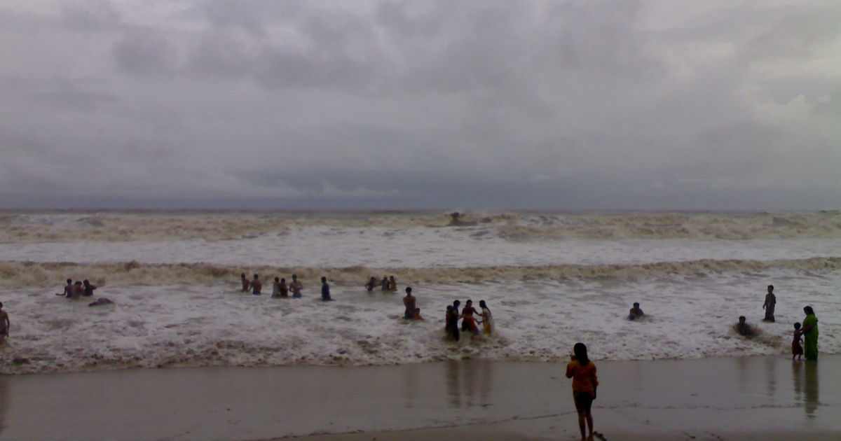
Southwest Monsoon 2019 had made an early onset on May 18 over Bay Islands. However, progress ofMonsooncurrent thereafter has been extremely sluggish. Monsoon practically remained stationary for almost about a week.
Monsoon surge usually covers Port Blair and Sri Lanka by May 25, but this has not been the case so far. Though it moved further on May 27, but that progress is quite negligible.
According to Skymet Weather, it has been 10 days since its arrival over Andaman and Nicobar Islands, but it has not advanced at its usual pace. The Northern Limit of Monsoon (NLM) is presently passing through Latitude 5°N/ Longitude 81°E, Latitude 7°N/ Longitude 88°E, Hut Bay and Latitude 14°N/ Longitude 98°E.
There are primarily three factors which are responsible for the driving the Monsoon current.
- Strong weather system such as low pressure area or depression in Bay of Bengal
- Formation of a cyclonic circulation or Votex over Southeast Arabian Sea
- Strengthening of cross-Equatorial flow across Indian Ocean
At present, all the threeMonsoondrivers have been missing. According to weathermen, an anti-cyclone has been persisting over Central Arabian Sea, which has been the main hurdle. The system has been restricting the winds to change to southwesterly, which would further aid the advancement of Monsoon surge.
The anti-cyclone has been governing the wind pattern and has been pushing northwesterly or northerly winds blowing along the West Coast. This is also the reason behind the absence ofpre-Monsoon rains in Kerala.
Until and unless, this anti cyclone either shifts away or dissipates we would not see much progress of Monsoon. Weather models are indicating that this system is likely to dilute in the next 3-4 days. It would then mark the change and we would see initial weather conditions developing gradually before the onset of Monsoon over Kerala.
Skymet Weather has already predicted the onset of Southwest Monsoon 2019 around June 4, with an error margin of +/- 2 days. However, as reiterated, weather models are indicating towards a weak onset.
Image Credit: NDTV
Any information taken from here should be credited to skymetweather.com


