Another round of good rain and snow soon over Jammu and Kashmir, Himachal, Uttarakhand courtesy Western Disturbance

November 23, 2019 12:41 PM|

Snow over the hills of North

The Western Disturbance’s presence over Jammu and Kashmir has caused widespread rain and snow activities over the hills of North. In the last 24 hours, significant snowfall has been observed over the hills. Like for instance, snowfall activity has been observed in many places. Gulmarg recorded 18 mm, Qazigund 26 mm,Manali 30 mm, Srinagar 13 mm,Banihal 34mm, Dharamshala 2 mm of snow.

Whereas Jammu recorded 3 mm of rain, Una 1 mm, Sundernagar 1 mm, Kullu recorded 7 mm of rain and snow and Shimla recorded traces of rainfall activities.

TheWestern Disturbanceis presently moving away, and its intensity will keep reducing gradually. Despite this clouding and light to moderate rain and snow will occur at many places for the day over Jammu and Kashmir and North Uttarakhand. While significant improvement will be sight by tomorrow.

At the time of snow, the possibility of landslide cannot be ruled out. Yet another fresh Western Disturbance is approaching the hills and at present is over Afghanistan. This system is expected to affect the Western Himalayas by the night of November 25. Another spell of moderate rain and snow will be seen over the hills of North. As per our experts, the maximums will continue to remain below normal for the next couple of days.

From October 1 until today, Jammu and Kashmir is largely excess by 129% while Himachal Pradesh is excess by 9%. Uttarakhand, on the other hand, is deficit by 16%.

Seems like with the upcoming spell the values will further go up and there could be a marginal improvement in the deficit value of Uttarakhand.

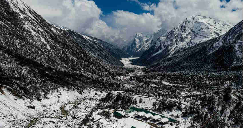
Image Credits – Holidify

Any information taken from here should be credited to Skymet Weather

Similar Articles

thumbnail image
March 20, Today Marks The Spring Equinox: Day-Night Duration Nearly Equal

The official transition from winter to spring, known as the SPRING EQUINOX, occurs today! It’s time when the Sun crosses the celestial equator precisely at 2:31 PM, delivering warmer, longer days to the Northern HemiSphere. As autumn arrives, the South enjoys colder evenings.

posted on:
thumbnail image
आज सूर्य करेगा भूमध्य रेखा पार, बसंत ऋतु की शुरुआत, दिन-रात की अवधि लगभग बराबर

आज, 20 मार्च 2025, बसंत विषुव (Spring Equinox 2025) का दिन है। सूर्य भूमध्य रेखा को पार करेगा, दिन बड़े और गर्म होंगे। उत्तर गोलार्ध में बसंत ऋतु की शुरुआत होगी, दक्षिण गोलार्ध में शरद ऋतु का आगमन होगा। वहीं, सितंबर में यह खगोलीय घटना फिर से होगी।

posted on:
thumbnail image
गर्मी का दायरा बढ़ा! ओडिशा, महाराष्ट्र, तेलंगाना और रायलसीमा में 40°C के पार तापमान, राहत की उम्मीद

देश में समय से पहले गर्मी असर बढ़ रहा है। ओडिशा, महाराष्ट्र, तेलंगाना, आंध्र प्रदेश में अभी तापमान से 40°C से ऊपर पहुंच गया है, जिस कारण इन राज्यों में भीषण गर्मी हो रही है। फरवरी 2025, पिछले 125 वर्षों में सबसे गर्म महीना रहा है। कई जगहों पर सामान्य से 6.4°C तक ज्यादा तापमान रिकॉर्ड हुआ है।

posted on:
thumbnail image
दिल्ली में बढ़ेगी गर्मी! शुष्क और तपता रहेगा वीकेंड, बारिश की संभावना हुई कम

दिल्ली में गर्मी बढ़ रही है, पिछले 3 दिनों में तापमान 4°C बढ़ा है। आज अधिकतम 34-35°C, न्यूनतम 17°C तक रह सकता है। मार्च अब तक लगभग शुष्क बना हुआ है, सिर्फ 2mm बारिश दर्ज हुई है। 26-28 मार्च को तापमान 40°C के करीब पहुंचने की संभावना है। वहीं,पश्चिमी विक्षोभ से मैदानी इलाकों में बारिश की संभावना नहीं है।

posted on: