Pre Monsoon rains have been making a frequent appearance over the state of Chhattisgarh. During the last 24 hours, light to moderate rains with one or two heavy spells have occurred over the state, particularly in the southern districts.
In the last 24 hours, from 8:30 am on Thursday, Pendra road has recorded 30.4 mm of rainfall, followed by Bilaspur 2.5 mm and Ambikapur 2.4 mm of rainfall.
According to our meteorologists,the spread and cover of rain would extend up to several other parts of Chhattisgarh, and this time not only the southern districts, but also eastern, western and northern districts would observe intense rains and thundershower activities. Until now, the northern areas of the state were almost dry with scanty rains.
The credit for upcoming rains goes to the Confluence Zone, that has been developed over Chhattisgarh, wherein south westerly winds from the Arabian Sea are mixing up with dry north-westerlies, thus leading to formation of convective clouds.
Due to these systems, pre- Monsoon rains will continue inRaipur,Bilaspur,Durg, Jagdalpur, Rajnandgaon during late afternoon or evening hours. These activities are expected to continue until the next week.
According to our weathermen, due to the slow progress of Monsoon in South India, Chhattisgarh would have to wait for another week to welcome the Southwest Monsoon 2019. Until then,pre- Monsoon activities would continue.As the time progresses, these pre- Monsoon showers would get converted into Monsoon showers.
From agricultural point of view, these rains would be a great help in restoring the soil moisture for the upcoming Kharif crops.
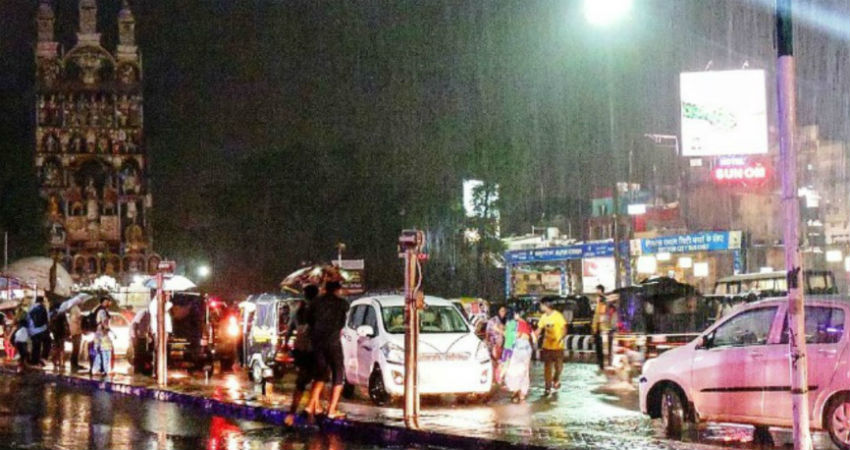
Image Credits – Pinterest
Any information taken from here should be credited to Skymet Weather


