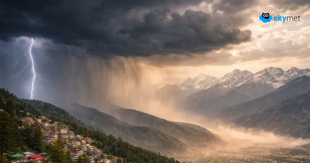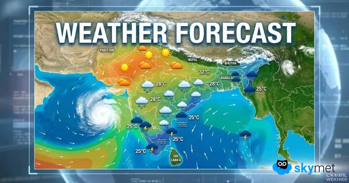
Since last few days, good rains have been lashing the Western Himalayan region due to the presence of successive Western Disturbances. Now once again, a fresh Western Disturbance is over Jammu and Kashmir region and will continue to give light to moderate rains and thundershowers over many parts of Jammu and Kashmir, Himachal Pradesh and Uttarakhand until tomorrow morning.
Now, after the upcoming spell, rainfall activity over the hills of North India will reduce to quite an extent.
Thereafter, a fresh Western Disturbance is likely to affect Jammu and Kashmir around May 16. Thus, between May 16 and 18, rains will see an increase over the hilly states of North India. During this time, Himachal Pradesh and Jammu and Kashmir will see more showers while scattered activity will be observed over Uttarakhand.
By May 19, the weather will start clearing up. However, during these three days, snowfall activity may also be seen in the upper reaches of the hills of North India.
There is contrasting weather activities over Uttarakhand. On one hand, Kedarnath has witnessed good rains and snowfall activities on May 11. Temperatures have also dropped here, resulting in the devotees to take shelter in safer places. Meanwhile on the other hands, Tehri has been seeing forest fires. While artificial sources are not helping in taming the fires but the upcoming rains between May 16 and 18 may cause some relief.
Image Credit: trawell.in
Please Note: Any information picked from here must be attributed to skymetweather.com


