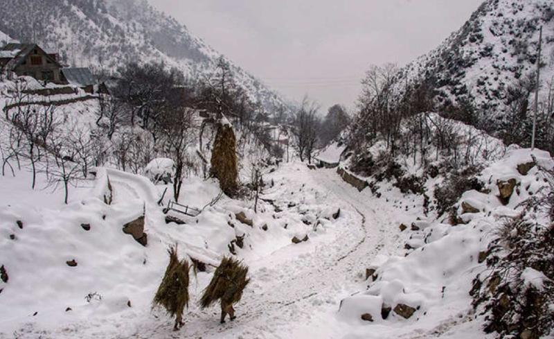
In the month of February, the intensity and frequency of Western Disturbances remained low. The month of March witnessed some increase in frequency and intensity of Western Disturbances leading to rain and snow over the Western Himalayas. Northern plains of the country such as Punjab, Haryana, Delhi, north Rajasthan, and parts of Uttar Pradesh received scattered rain and thundershowers during the 1st and 2nd week of March.
A fresh Western Disturbance which will be much stronger and intense will approach the Western Himalayas around March 20. It will continue to give widespread rain and snow over hilly states between March 21 and 24. Rain and snow will remain confined up to Himachal Pradesh until March 22nd. On March 23rd and 24th, many parts of Uttarakhand may also receive good rain and snow.
Intense Western Disturbances are usually accompanied by induced cyclonic circulations over northern plains. This time, rain activities are expected over many parts of Punjab, Haryana, Rajasthan, and Uttar Pradesh between March 22nd and 24th. Madhya Pradesh may also receive scattered rain and thundershowers between March 23rd and 24th. Isolated moderate thundershowers are possible over Delhi NCR on March 23rd and 24th. Hailstorm activities are also possible over northern plains as well as parts of Madhya Pradesh during this period.
The weather will clear up by March 25th. Day temperatures will start increasing across the north-west and central India, again leading to heatwave conditions over isolated pockets.


