Thenortheastern states of Indiai.e. Assam, Arunachal Pradesh, Meghalaya, Nagaland, Manipur, Mizoram, and Tripura have been experiencing good intensity weather activities for over a month now. All thanks to the active Monsoon conditions over Northeast India.
Talking particularly aboutMeghalaya, during the month of June this state observes frequent spells of moderate to heavy rainfall activity.
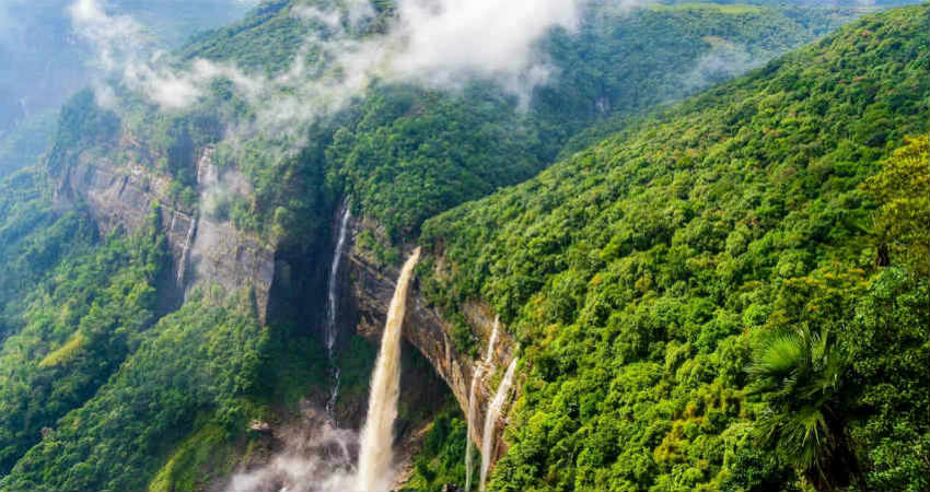
Cherrapunjeewhich is considered the world’s second rainiest place has received 3-digit rainfall on four occasions in the month of June until June 17.
On June Cherrapunjee recorded 212 mm of rain, followed by 162 mm on June 5 and 168 mm on June 10. During the last 24 hours also, the city witnessed torrential rains to the tune of 359 mm.
The monthly average rainfall of Cherrapunjee during June is 2511.7 mm. But the rainiest month is July with an average of 2992.3 mm of rain. Although the monthly average is very high for the last few years, Cherrapunjee has not been receiving its average monthly quota of rainfall activity.
This year the intensity of rain is higher than in the previous years. So, we expectMeghalayaalong withCherrapunjeeto reach their monthly average.
At present, a cyclonic circulation is persisting over Bangladesh. Humid moderate winds from the Bay of Bengal are expected to continue leading to enough moisture feed over thenortheastern states including Meghalaya.
Thus, we can say that good rains are expected to continue over most parts of Meghalaya and June 20 onwards, the intensity of these rainfall activities will increase. During that time, very heavy to extremely heavy rainfall activity will lash parts of Meghalaya speciallyCherrapunjee.
Image Credit: Wikipedia
Please Note: Any information picked from here must be attributed to skymetweather.com


