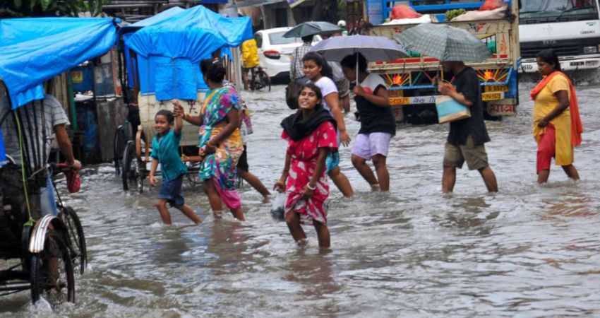
The state of West Bengal enjoys a four-month-long Monsoon season. The Southwest Monsoon sets in early and the withdrawal is also very late. In fact, it is one of the rainiest pockets of the country.
In a span of 24 hours from 08:30 am on Thursday, Monsoon remained active over the sub-Himalayan West Bengal and heavy to very heavy rainfall activities were seen. Places like Siliguri received 85 mm of rainfall, Darjeeling recorded 78 mm and Jalpaiguri recorded 36 mm of rainfall.
Moderate rain occured over Gangetic West Bengal also. Places like Ulveria received 23 mm of rain and Contai experienced 30 mm of rainfall activity. Most of the districts in West Bengal witnessed light to moderate showers.
The city of joy, Kolkata has also experienced moderate rainfall activity during the last 24 hours.
At present, the eastern end of Axis of Monsoon Trough is running across Gangetic West Bengal. And the humid winds from the Bay of Bengal are feeding moisture to the state. Due to this, we expect moderate rainfall activities with one or two heavy spell to commence over the Sub-Himalayan West Bengal during the next three to four days.
Whereas, the intensity of rain in Gangetic West Bengal would be comparatively less.
Despite a marginal improvement in rainfall deficiency, West Bengal has been one of the largest deficit pockets in the country so far.
According to Skymet Weather, the Sub-Himalayan West Bengal is rain deficient by 13%. But the upcoming rain would help in bringing down the rain deficiency to some extent.
Gangetic West Bengal is rain deficient by 27%. And as predicted by weathermen, we do not expect deficieny to decrease in Gangetic West Bengal.
Throughout this rainy episode, the intensity and spread of rain will be more over Sub- Himalayan West Bengal than Gangetic West Bengal.
Image Credit: DNA India
Any information taken from here should be credited to Skymet Weather


