As predicted by Skymet Weather,good rains have returned to the state of Uttar Pradesh. The central and eastern districts of the state have observed moderate to heavy rains in the past 24 hours.
Talking about the rainfall data, Gorakhpur has recorded 44 mm of rain, followed by Lucknow 36 mm, Fursatganj 19 mm, Varanasi 18 mm, Kanpur 9 mm, Bareilly 7 mm and Shahjahanpur 4 mm in a span of 24 hours from 8:30 am on Thursday.
The reason for these rains is theLow-Pressure Areaover South Uttar Pradesh. This system is likely to persist for some more time due to which moderate to heavy rains will be witnessed in the eastern and central districts of the state for another three days.
Thereafter, September 16 onwards, the rain belt would get confined to eastern districts only such asPrayagraj,Varanasi,Gorakhpur, Ballia, Chandoli, Azamgarh and Jaunpur. And by this time, rains will vacate the other parts of the state.
During this entire rainy episode, the weather of West Uttar Pradesh will remain mainly dry. However, scattered light rains with isolated moderate spells cannot be ruled out.
Uttar Pradesh has not been able to enjoy a good Monsoon so far. The month of June ended on a deficient note, wherein East Uttar Pradesh was deficient by 56% and West Uttar Pradesh by 71%.
July, however, performed a little better with East Uttar Pradesh observing a rainfall surplus of 1%. Some significant rains also appeared in rain deficient West Uttar Pradesh, which by the end of the month saw the deficiency drop and settle at 24%.
The month of August observed less than normal rains, wherein the rain deficiency in East Uttar Pradesh was 14% and West Uttar Pradesh 27%.
The rainfall deficiency in East Uttar Pradesh from June 1 to September 13 stands at 22%, while in West Uttar Pradesh it is 29%. The state overall is rain deficient by 25%.
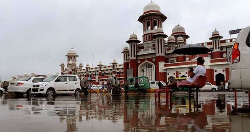
Image Credits – The Hindu
Any information taken from here should be credited to Skymet Weather


