Trail Of Western Disturbances Across North India: Mainly Impact Mountains
Ahmedabad: Stifling Weather For The T-20 Final
[Hindi] सम्पूर्ण भारत का 07 मार्च, 2026 का मौसम पूर्वानुमान
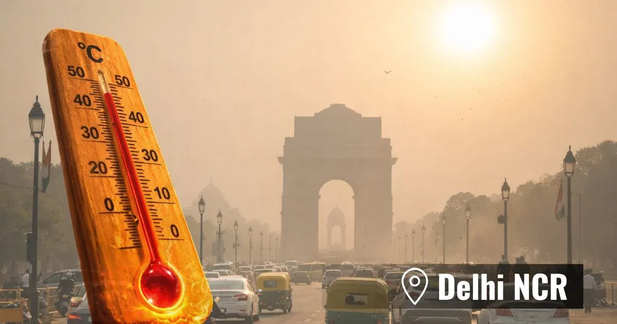
Delhi Heading For Hotter Days: No Rains Likely