
The Well-marked Low-Pressure Area has intensified into a Depression and now lies over east-central Arabian Sea. This system is likely to intensify further into a Cyclonic storm during next 48-72 hours. Now the rains will reduce over Kerala, Karnataka. However extreme northern parts of Karnataka will witness moderate rain and rest will see mainly light showers including Bengaluru.
The Well-Marked Low-Pressure Area on the other side that is the Andhra Pradesh coast has moved north/northwestward and lies over South Chhattisgarh and adjoining Telangana as a Cyclonic Circulation. A Trough is extending from central Arabian sea to the northeast states across Maharashtra, North Telangana, Odisha, Gangetic West Bengal.
A Cyclonic Circulation has developed over southeast Bay of Bengal and a Trough can be marked up to Chhattisgarh across central Bay of Bengal and North Andhra Pradesh coast. Therefore, moderate rain is likely in parts of extreme Tamil Nadu, Andhra Pradesh and Telangana with isolated heavy spells. The sea conditions will be rough with gusty winds. Hyderabad and Chennai may see moderate showers while Kochi may see light rains with heavy showers over Visakhapatnam.
In the eastern parts of our country, a Cyclonic Circulation can be seen over West Assam and Meghalaya. Due to this system, rain and thundershowers are likely at some places of Odisha, Gangetic West Bengal wherein light to moderate showers with isolated heavy spells will be a sight. The coastal stations will witness strong gusty winds. The activity will increase over South Bihar and Jharkhand after 24 hours. Amidst this Kolkata may see light to moderate rain with significant drop in day temperature. Ranchi and Jamshedpur may see moderate to heavy showers.
In the northeastern parts of our country, scattered light to moderate rain is likely at many places.
Click the image below to see the live lightning and thunderstorm across India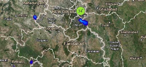
Meanwhile in Central India, moderate rain and thundershowers are likely over Chhattisgarh and mainly light showers will be seen over south and east Madhya Pradesh.
The extreme southern parts of Gujarat may receive light scattered showers. It is expected that Maharashtra may now witness reduced rainfall activities. Moderate rain is possible in some parts of Madhya Maharashtra like Pune, Sangli, Satara, Ahmednagar. Whereas, the rains will reduce significantly over Mumbai and rise in temperature will be seen.
Up in the North, the Western Disturbance as an upper air system is moving across North Jammu and Kashmir. A low-Level circulation lies over Southwest Punjab and scattered light rains will be seen over the hilly regions of Jammu and Kashmir and extreme north of Himachal Pradesh. Dry weather will prevail over Northwest India. Pollution level to increase over Delhi and NCR with a change in wind direction.
Any information taken from here should be credited to skymetweather.com
