The Western Disturbance over western parts of Jammu and Kashmir is moving away eastwards. Thus, we expect scattered light rains with one or two moderate spells over Jammu and Kashmir , Himachal Pradesh and Uttarakhand now. Meanwhile, winds over plains will change direction and start blowing from north-west direction. Therefore, weather in Punjab, Haryana, Delhi, North Rajasthan as well as West Uttar Pradesh will become dry now. However, due to some amount of moisture in the atmosphere, isolated dust storm or short spell of rain cannot be ruled out in these states. Day temperatures will now increase over entire northwest India.
In Central India, heat wave conditions are prevailing in many districts of Madhya Pradesh and Vidarbha and in isolated pockets of Chhattisgarh. We do not expect any relief over entire Central India. Moreover, temperatures will increase further over Gujarat, Madhya Pradesh, Chhattisgarh, Vidarbha and Marathwada and thus, heat wave would cover some more parts of Central India.
In East and Northeast India, a trough is extending from East Bihar up to South Peninsula across West Bengal and Odisha. A Cyclonic Circulation is also persisting over East Bangladesh and adjoining Tripura. Therefore, heavy rains are expected to continue over Northeast India, Sub Himalayan West Bengal and Sikkim, while scattered rains are possible over Gangetic West Bengal including Kolkata. Meanwhile, isolated rains are possible over Odisha, East Bihar and East Jharkhand.
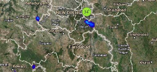
Click the image below to see the live lightning and thunderstorm across India
Down South, a North- South Trough is extending across Telangana, South Interior Karnataka and Kerala. Hence, rain activities are expected to increase over south interior Karnataka, Kerala as well as over Andaman and Nicobar Islands. On the other hand, isolated rains are possible over Rayalaseema and interior Tamil Nadu.
Any information taken from here should be credited to skymetweather.com


