The journey of Southwest Monsoon 2019 has finally begun as it marks its onset over Andaman and Nicobar Islands. Arriving earlier than its normal date of May 20, Monsoon has covered South Andaman Sea and some parts of South Bay of Bengal and Nicobar Islands. The Northern Limit of Monsoon (NLM) is now passing through Car Nicobar. Due to the cyclonic circulation over southern parts of Andaman and Nicobar, light to moderate rains will continue over these parts.
Moving towards South India, a cyclonic circulation lies over North Interior Karnataka and another cyclonic circulation is over Comorin. A trough is also running across South Interior Karnataka and Interior Tamil Nadu. Due to which, scattered rains will occur in parts of Karnataka, Kerala and West Tamil Nadu. Isolated rains will also occur in parts of Andhra Pradesh.
In east/northeast India, a cyclonic circulation is present over East Bihar and another cyclonic circulation over Upper Assam. Thus, scattered rain and thundershowers will continue over parts of West Bengal, Sikkim and northeastern states. Isolated places in Odisha may also witness rains.
Due to prevalence of dry northwesterly winds, most parts of Central India will remain dry and hot with increasing temperatures. In fact, parts of South Madhya Pradesh, Vidarbha and Chhattisgarh may observe heat wave condition. South Rajasthan and Gujarat may experience dust storm activity.
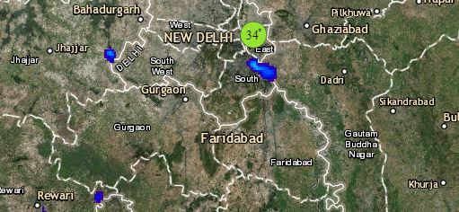
Click the image below to see the live lightning and thunderstorm across India
In North India, the Western Disturbance lies over North Jammu and Kashmir. due to this, higher reaches of Jammu and Kashmir and Himachal Pradesh will experience scattered rain and thundershowers. In the wake of dry weather, Punjab, Haryana, Delhi, Uttar Pradesh and North Rajasthan will witness increase in temperatures. Due to a cyclonic circulation over Southwest Rajasthan, parts of South Rajasthan will experience spell of dust storm and thundershowers.
Any information taken from here should be credited to skymetweather.com


