To begin with North India, the Western Disturbance has moved away eastwards and now we expect weather to clear up from parts of Jammu and Kashmir and Himachal Pradesh. However, scattered rains may continue over Uttarakhand until afternoon of March 15. Isolated rains are also possible over the foothills of West Uttar Pradesh. Weather in Punjab, Haryana, Delhi and Rajasthan will remain dry.
Moving to East/Northeast India, a confluence zone is seen extending from Central India towards Gangetic West Bengal. Therefore, we expect light to moderate rain and thundershowers with isolated hailstorm activity over Jharkhand, North Odisha and Gangetic West Bengal. Light rains may also occur over few places in East Uttar Pradesh and Bihar. Due to the cyclonic circulation over Assam, light rains may occur in Assam and Arunachal Pradesh.
In central India, due to the above confluence zone, scattered rains may occur in Chhattisgarh and East Madhya Pradesh. Weather of Maharashtra, West Madhya Pradesh and Gujarat will remain dry and warm.
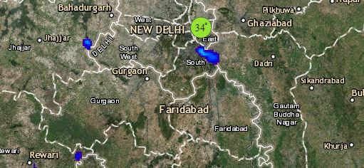
Click the image below to see the live lightning and thunderstorm across India
Lastly in South India, due to the absence of any significant weather systems, weather will rmein mostly dry. As humid winds from Bay of Bengal are blowing over Telangana, Andhra Pradesh and Tamil Nadu, night temperatures are expected to rise marginally.
Any information taken from here should be credited to skymetweather.com
