
At present, The Northern Limit of Monsoon (NLM) has progressed further and is presently passing through Ratnagiri, Ahmednagar, Aurangabad, Nagpur, Pendra, Varanasi and Bahraich.
Starting with Central India, a Cyclonic Circulation lies over Northwest Parts of Madhya Pradesh and adjoining Rajasthan. A Trough is extending from this system to east-central Bay of Bengal. Also, an upper air Trough is extending from this system to Telangana. Due to these systems, Southwest Madhya Pradesh and Northeast Gujarat are likely to experience moderate to heavy rain and thundershowers while northern parts of Madhya Pradesh will experience dust storm activities. Vidarbha and Chhattisgarh will also see spells of rain and thundershowers at scattered places. Maharashtra and Konkan coast including Mumbai will see moderate rain and thundershowers at many places.
Coming onto East India, here warm and moist winds are prevailing over Bihar, Jharkhand, Odisha and West Bengal. Due to these winds, the weather will be warm and humid with cloudy sky conditions. Rain and thundershower is likely at isolated places.
Due to incursion of moisture from Bay of Bengal over Northeast states, and the presence of Western Disturbance across Tibet region, Assam, Sub-Himalayan West Bengal, Sikkim and Arunachal Pradesh will experience moderate to heavy rain at many places. While other parts of Northeast states will experience light rain and thundershowers at scattered places.
Talking about South India, an off shore trough can be seen along the west coast. Thus, coastal parts of Karnataka and Kerala might see rain and thundershowers at many places. While light to moderate rains will occur over interior parts of Karnataka. Telangana and Andhra Pradesh will witness light to moderate rain and thundershowers at scattered places. Andaman-Nicobar and Lakshadweep Islands are also gearing up some rains.
Click the image below to see the live lightning and thunderstorm across India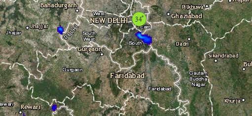
Lastly, North India, here a Western Disturbance lies over North Pakistan and adjoining parts of Jammu and Kashmir. Its associated induced Cyclonic Circulation lies over Northwest Rajasthan. Due to the presence of these systems, light to moderate rain and thundershower activities would affect many places over Jammu and Kashmir and Uttarakhand and scattered places over Himachal Pradesh. Dust-storm and thundershower with strong winds are likely at many places over Punjab, Haryana, Delhi, West Uttar Pradesh and Rajasthan.
Also, a Cyclonic Circulation can be seen over Northeast Rajasthan and adjoining parts of Madhya Pradesh. Another Cyclonic Circulation lies over Northwest Rajasthan. Due to the presence of these systems, dust storm and thundershower activities are likely many places over Rajasthan. Southeast parts of Rajasthan may experience moderate to heavy thundershowers at isolated places.
Any information taken from here should be credited to skymetweather.com
