A fresh Western Disturbance is marked over North Pakistan and adjoining areas, which would give isolated light rain activities over Jammu and Kashmir and the upper reaches of Himachal Pradesh. However, weather of Uttarakhand and northern plains would be dry.
With icy cold winds reaching plains, Cold Wave conditions would continue to grip some parts of Punjab, Haryana, Delhi and Rajasthan. As a result, we can expect significant drop in day temperatures across Punjab, Haryana and parts of Rajasthan. Delhi too would see both day and night temperatures settling below normal. Talking about pollution, the air quality would be in moderate category at many places with poor to very poor at one or two places.
Cold wave conditions have also gripped entire Central India with cold and dry winds from north sweeping the region. Thus, the day temperatures would remain 4°C-6°C below normal and at most of the places, day maximums would be in the range of 20°C-25°C.
We do not see any relief from cold Wave conditions in Madhya Pradesh, Chhattisgarh, Vidarbha and Gujarat. In spite of clear sky and bright sunshine, cold winds would keep giving a feel of winter chill.
These icy winds would also be reaching East India, which would lead to further marginal drop in day and night temperatures over East Uttar Pradesh, Bihar, Jharkhand, Odisha and Gangetic West Bengal.
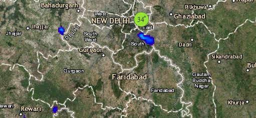
Click the image below to see the live lightning and thunderstorm across India
Meanwhile in Northeast, a Cyclonic Circulation has formed over Assam, which is inducing moist south-westerlies from Bay of Bengal. Thus, scattered light to moderate rains are a possibility over Northeast India. The upper reaches of Sikkim and Arunachal Pradesh might witness snowfall at isolated places.
Down South, ongoing rains over Telangana and Andhra Pradesh would now reduce significantly, however isolated light rains might continue. Scattered rains are a possibility over South Interior Karnataka and Interior Tamil Nadu. Bengaluru might receive one or two short spells of light rain.
Any information taken from here should be credited to skymetweather.com


