The Western Disturbance has now moved away, thus activity would now reduce significantly and only isolated light rain and snow is likely over Jammu and Kashmir, Himachal Pradesh and Uttarakhand.
In plains, moderate and icy winds from snow clad mountains are now expected to commence over Punjab, Haryana, Delhi, West Uttar Pradesh and Rajasthan, leading to fall in minimums. Return of Cold Wave like conditions thus make a comeback in isolated pockets of Haryana, Punjab and Rajasthan.
In and around national territory of Delhi, dry and sunny weather conditions would prevail, and winter chill can be felt during morning and night hours.
In Central India, dry weather conditions are expected to continue over Gujarat, isolated parts of Madhya Pradesh and Maharashtra. However scattered rain and thundershowers might occur over South Chhattisgarh with isolated spells over East Madhya Pradesh and Vidarbha because of the current weather systems.
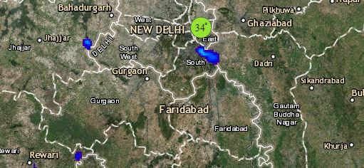
Click the image below to see the live lightning and thunderstorm across India
The ongoing rains would now diminish from East India. However, the remnants of last Western Disturbance would give isolated light rains over southern districts of Odisha. Weather over East Uttar Pradesh including Prayagraj would be dry. Isolated thunder activities are a chance over Bihar and Jharkhand. Scattered rains are possible over Sub Himalayan West Bengal and Sikkim, Arunachal Pradesh and parts of Assam.
Down South, a Cyclonic Circulation is seen over Telangana and a trough is extending from Odisha up till Interior Tamil Nadu. Thus, rain and thundershower activities are possible at many places of Telangana including Hyderabad and scattered activities could be seen over Andhra Pradesh inclusive of Bengaluru and South Interior Karnataka. Isolated rains might be seen over Interior parts of Tamil Nadu.
Any information taken from here should be credited to skymetweather.com


