Hills of North India is gearing up for another spell of rain and snow, with a fresh Western Disturbance moving over Jammu and Kashmir. Thus, rain and snow to re-appear by afternoon or evening hours of January 10 over Jammu and Kashmir. Gradually, Himachal Pradesh and Uttarakhand will also start receiving rain and snow. Intensity would pick up pace January 11 onwards and we can expect some heavy spells thereafter.
The system has also induced Cyclonic Circulation over Central Pakistan and its adjoining areas. With this, scattered rains are also expected over parts of Punjab and North Haryana, while West and Northwest Rajasthan may witness light to very light rains at one or two places.
Weather of Delhi will be dry, and we do not expect dense fog over the northern plains including Delhi. The pollution levels are further expected to improve over Delhi and NCR.
Meanwhile, dry and cold north-westerlies will continue to blow over Madhya Pradesh, Chhattisgarh and Vidarbha for coming 24 hours, keeping the weather cold.
In East/North-east India, isolated rain and snow would continue over the upper reaches of Arunachal Pradesh. Besides this, a Cyclonic Circulation is marked near Manipur, due to which minimums may increase marginally over Nagaland, Manipur and Assam.
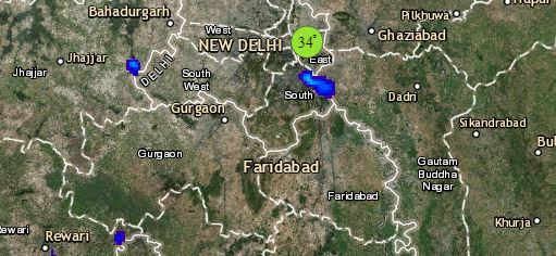
Click the image below to see the live lightning and thunderstorm across India
However, weather of East India will remain dry, with cold northwesterlies, minimum temperatures may fall further over East Uttar Pradesh, Bihar and parts of Jharkhand.
Down South, an Anti-Cyclone is seen over Telangana and its adjoining areas. The minimums might fall further over the state and parts of Rayalaseema, thus leading to cold morning and night. Weather will be dry over the Southern Peninsula. However, isolated light rains can be seen over Andaman and Nicobar Islands.
Any information taken from here should be credited to skymetweather.com


