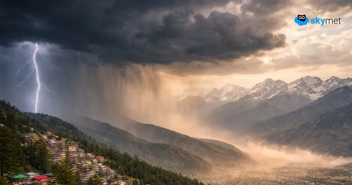
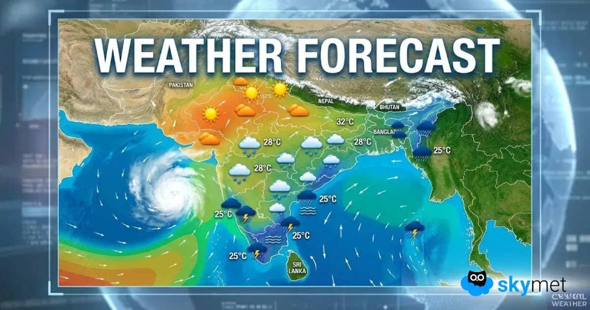
Up North, the Western Disturbance is seen moving across East Jammu and Kashmir. With this, scattered light rains are likely over Himachal Pradesh, Uttarakhand and a few places over Jammu and Kashmir. The axis of Monsoon trough is seen passing through North of Punjab, North Haryana, foothills of Uttar Pradesh, Bihar then towards Manipur. Due to this, isolated thundershower activities are expected to occur over foothills of Uttar Pradesh, North Haryana, extreme northeast parts of Punjab and a few places over Delhi. Whereas remaining parts of Punjab, Haryana and West Uttar Pradesh will see mainly dry weather.
Coming to East India, foothills of East Uttar Pradesh, Bihar, Jharkhand and Sub-Himalayan West Bengal including Malda may witness isolated light rains. Whereas talking about northeastern states, some places may witness light rains and places such as Manipur, Meghalaya and Assam may witness moderate showers.
[yuzo_related]
A trough is seen extending from Coastal Gangetic West Bengal up to South of Tamil Nadu across Odisha and Andhra Pradesh. With this, light to moderate rains are likely over South Odisha and Andhra Pradesh. Meanwhile, scattered light rains may occur over Telangana, North Kerala and extreme North of Tamil Nadu. Whereas Kerala and South Tamil Nadu will receive light rains.
Moreover, light to moderate showers are expected over Karnataka including Bengaluru.
Live status of Lightning and thunder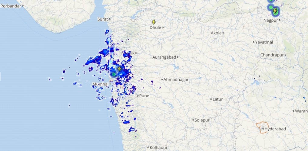
An anti-cyclonic circulation is seen over Gujarat and adjoining West Madhya Pradesh. Hence, dry weather conditions are expected to prevail over Maharashtra, Madhya Pradesh, Gujarat and adjoining areas. However, South Madhya Maharashtra will witness light to moderate rains.
Please Note: Any information picked from here should be attributed to skymetweather.com


