A Western Disturbance is seen over northern parts of Jammu and Kashmir. Along with this, the axis of Monsoon trough is running close to the foothills of Himalayas. Therefore, light rain is likely over parts of Jammu and Kashmir, while Himachal Pradesh and Uttarakhand may receive light to moderate showers with one or two heavy spells. Good rains are also expected over parts of Punjab, Haryana and West Uttar Pradesh.
Coming to Central India, as there is no significant weather system, hence the weather will remain mostly dry over the area. Light rain may occur over parts of Chhattisgarh, Vidarbha and Gujarat, but Madhya Pradesh will continue with dry weather.
Moving to east and northeast regions, East Uttar Pradesh, Bihar, Sub-Himalayan West Bengal, Sikkim and northeastern states may witness good rain and thundershowers, however, the rain intensity will remain less over Jharkhand and Odisha. Gangetic West Bengal is likely to get one or two moderate spells.
[yuzo_related]
Down south, a trough is extending along the east coast from Andhra Pradesh to Tamil Nadu. Moreover, a cyclonic circulation is persisting over Comorin area. In wake of these weather systems, light to moderate rains are expected to occur over many parts of Tamil Nadu, few parts of Kerala and South Interior Karnataka. Coastal Andhra Pradesh may receive scattered rains while Konkan and Goa and Coastal Karnataka will record scattered light to moderate showers. The weather over Telangana, Rayalaseema, North Interior Karnataka and Interior Maharashtra will remain dry.
Live status of Lightning and thunder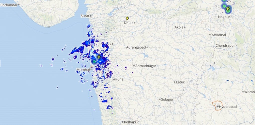
Talking about major cities of India, Bengaluru, Chennai and Kolkata would record moderate showers, while Mumbai and Delhi will continue with light rains.
Please Note: Any information picked from here should be attributed to skymetweather.com