An anti-cyclonic circulation can be marked over Southwest Rajasthan and dry northwesterly winds are blowing continuously over entire Northwestern Plains.
Therefore, dry and warm weather conditions are likely to prevail over northern plains of India including hills of North India.
Moreover, many parts of Delhi, Rajasthan and Uttar Pradesh will continue to witness an increase in the temperatures.
Another cyclonic circulation is seen over Jharkhand and adjoining areas. Also, a trough is seen extending from East Bihar up to Southeast Arabian Sea across Jharkhand and Odisha.
Due to these weather systems, light to moderate rains with one or two spells of heavy showers are likely over eastern parts of Bihar, Sub-Himalayan West Bengal, Sikkim, parts of Jharkhand and Odisha.
Whereas, moderate rains may occur over Assam and Meghalaya. While scattered light rains may continue to occur over Gangetic West Bengal and remaining parts of northeastern states.
Talking about Central India, the weather will remain dry and warm over most parts of this region. Although scattered light rains are possible in parts of Chhattisgarh and isolated places over Vidarbha.
[yuzo_related]
A trough is seen extending from Coastal Andhra Pradesh, Rayalaseema and South Interior Karnataka up to Coastal Karnataka.
Due to this, light to moderate rains with a few spells of heavy rains are possible in Coastal Andhra Pradesh, South Telangana, Rayalaseema, South Interior Karnataka and Coastal Karnataka.
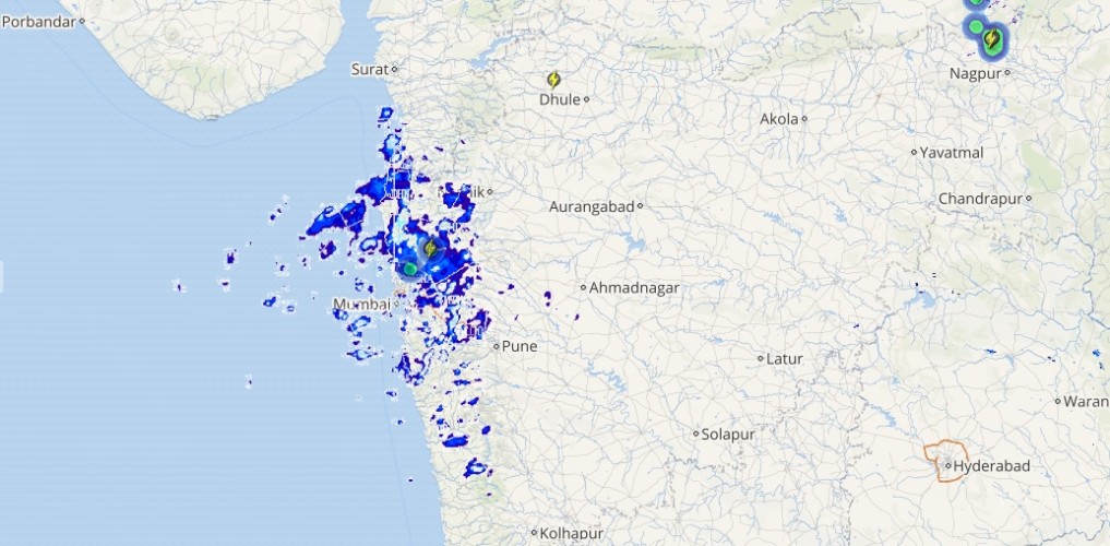
Live status of Lightning and thunder

While light to moderate rains are likely over North Tamil Nadu and Kerala.
On the other hand, Marathwada, Madhya Maharashtra and North Interior Karnataka may receive scattered light rains.
Please Note: Any information picked from here should be attributed to skymetweather.com


