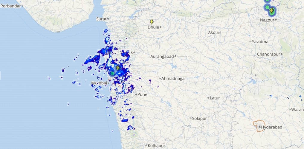
The depression over Bangladesh has weakened into a low-pressure area. Now, this system is lying over Meghalaya and adjoining areas but is further expected to fizzle- out shortly. A trough is also seen extending from this system up to North Tamil Nadu Coast.
Due to this, the rain intensity over entire northeastern states will decrease significantly though light rains will continue in Nagaland, Manipur, Mizoram and Tripura along with Sub Himalayan West Bengal.
Dry weather is expected to prevail over Bihar, Jharkhand and West Bengal. While scattered light to moderate showers are likely in Odisha.
Coming to North India, a cyclonic circulation is seen over central Pakistan and adjoining areas of Punjab. In spite of this prevailing weather system, the weather of Northwest India including West Rajasthan and northern hills of India will remain dry and hot. Haze is possible during the morning hours.
[yuzo_related]
However, what is certainly a reason to cheer for Delhiites is that the pollution levels may further improve marginally over Delhi and NCR region, which had entered the severe category on Diwali.
Moving to Central India, scattered light to moderate rains is possible over southern districts of Chhattisgarh and adjoining southeast Madhya Pradesh. Whereas, a few parts of Marathwada, Vidarbha and South Madhya Maharashtra will witness scattered rainfall activity.
Live status of Lightning and thunder

Meanwhile dry and hot weather will continue over rest parts of Madhya Pradesh and Gujarat.
Down South, Telangana and a few places over Andhra Pradesh including North Karnataka will receive light rains. On the other hand, scattered rainfall activities are likely in Kerala, Tamil Nadu and South Karnataka.
Please Note: Any information picked from here should be attributed to skymetweather.com


