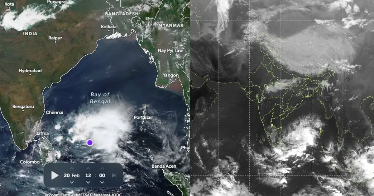
The deep depression after hitting the coast weakened rapidly into a depression. Moving westwards, the weather system has now moved again in open waters of Arabian Sea and is presently lying as cyclonic circulation.
It is depression likely to gain strength and intensify again into a low pressure area in next 24 hours.
With this rains will reduce over Peninsular India but scattered light rain will continue over Kerala, South Interior Karnataka and Tamil Nadu.
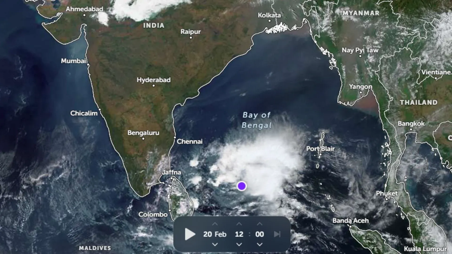
A fresh cyclonic circulation is seen brewing in extreme southeast Bay of Bengal. However at present, system is far away from the coast to affect the weather. It is expected to become more marked and come near the coast only by weekend.
Moving in the northern parts of the country, a fresh Western Disturbance is approaching hilly region and is presently marked over North Pakistan and adjoining region.
With this, we can expect fresh spell pf rain and snow in higher reaches of Jammu and Kashmir and Himachal Pradesh on Wednesday. While, lower reaches will only receive scattered light rain.
Meanwhile, anti-cyclonic circulation over Rajasthan and adjoining Gujarat will keep weather mostly dry over entire Northwest, Central, East and Northeast India.


