Up in North, the affecting Western Disturbance is now over eastern parts of Jammu and Kashmir, which might give rain and snow over few pockets of the state along with parts of Uttarakhand. One or two places of Himachal Pradesh might also see some activity.
Meanwhile, northwestern plains of the country will continue to experience dry and comfortable weather. Sky may become partly cloudy to cloudy over North Rajasthan, Punjab, Haryana, Delhi and West Uttar Pradesh but there will be no weather activity.
Talking about pollution, Delhi NCR has once again come under the grip of intense pollution. This could be blamed to the humid easterly winds that are presently blowing over the national capital. Thus, pollution would remain in very poor to severe category.
Moving to East and Northeast India, the region will continue with dry weather due to presence of easterly winds. Shallow to moderate fog is possible over Assam, Meghalaya, Manipur, Mizoram and Tripura.
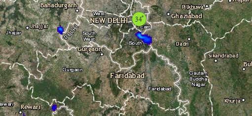
Click the image below to see the live lightning and thunderstorm across India
In Central India, clouding could also be seen over Gujarat, South Rajasthan and West Madhya Pradesh, but weather will remain dry. Minimum temperatures may rise marginally over most parts due to warm and humid easterly winds.
Down South, Northeast monsoon remains subdued, thus we do not expect any significant weather activity over entire south peninsula, barring isolated light rains over South Coastal districts of Tamil Nadu by Wednesday evening or night. However, Andaman and Nicobar Islands along with Lakshadweep Islands would receive scattered light rains.
Any information taken from here should be credited to skymetweather.com


